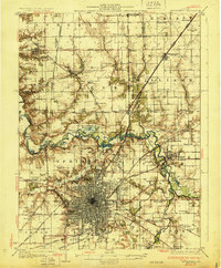
1913 Map of Lincoln
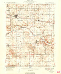
USGS Topo · Published 1950About this map
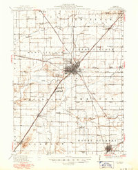
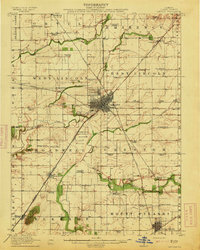
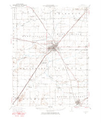
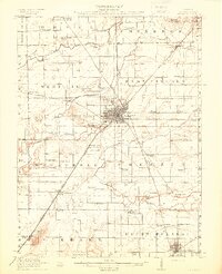
Lincoln serves as the central hub of this Central Illinois landscape, where several major rail lines including the Illinois Central, Illinois Traction System, and Gulf Mobile and Ohio converge. The rural character of Logan County is evident through a dense network of country schoolhouses, such as Altic School, Fairfield School, and Rose Hill School, serving as the social anchors for scattered farming communities. Near the heart of the county, the State Reservation and County Farm stand as significant public institutions of the early 20th century. To the south, Mount Pulaski anchors the lower terrain near the Lake Fork, while the northern reaches transition toward Hartsburg across Sugar Creek. This survey captures a moment when local life was defined by the intersection of these steam and electric rail lines with the winding paths of Salt Creek and Deer Creek.
Find a feature on this map
64 named features on this map. Tap any name to fly to it.
Don’t see what you’re looking for? This feature index may not catch every label — zoom into the map to look around manually.
Map Details
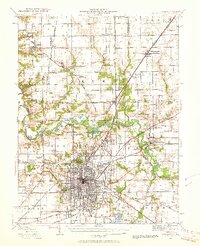
Editions of this 1913 Lincoln Map
3 editions found
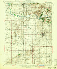
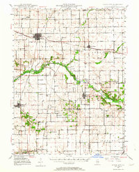
Other maps of this area

1907 · Springfield
USGS Topo · 1:62,500
1911 · Lincoln
USGS Topo · 1:62,500
1913 · Lincoln
USGS Topo · 1:62,500
1930 · Springfield
USGS Topo · 1:62,500
1940 · Springfield
USGS Topo · 1:62,500
1942 · Delavan
USGS Topo · 1:62,500
1948 · Mason City
USGS Topo · 1:62,500
1949 · Mason City
USGS Topo · 1:62,500

1949 · Mc Lean
USGS Topo · 1:62,500
1951 · McLean
USGS Topo · 1:62,500