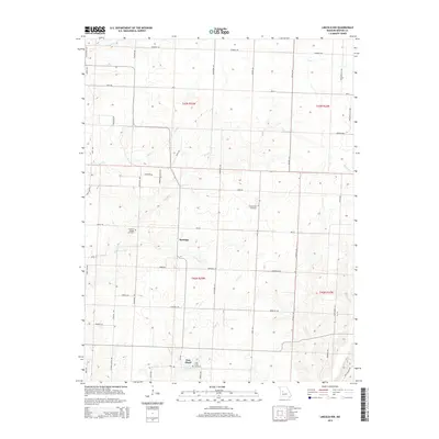
2014 Map of Lincoln NW
USGS Topo · Published 2014About this map
Santiago and Palo Pinto anchor this landscape in northwestern Benton County, where the topography is defined by the winding drainages of Barker Cr, Duck Cr, and Brush Cr. The map reveals a dense grid of rural roads, many bearing family names like Schweitzer Ave, Mehrens Rd, and Englebrecht Ave, which offer critical leads for genealogists tracing local landownership.
Find a feature on this map
55 named features on this map. Tap any name to fly to it.
Don’t see what you’re looking for? This feature index may not catch every label — zoom into the map to look around manually.
Map Details
Editions of this 2014 Lincoln NW Map
This is the sole edition of this map. No revisions or reprints were ever made.
Other maps of this area

1885 · Warrensburg
USGS Topo · 1:125,000

1887 · Clinton
USGS Topo · 1:125,000

1887 · Sedalia
USGS Topo · 1:125,000

1887 · Warsaw
USGS Topo · 1:125,000

1887 · Warrensburg
USGS Topo · 1:125,000

1894 · Warsaw
USGS Topo · 1:125,000

1894 · Sedalia
USGS Topo · 1:125,000

1894 · Warrensburg
USGS Topo · 1:125,000

1894 · Clinton
USGS Topo · 1:125,000

1936 · Shawnee Bend
USGS Topo · 1:24,000