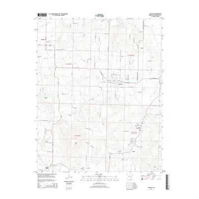
2014 Map of Lincoln
USGS Topo · Published 2014About this map
Lincoln serves as the primary hub of this 2014 survey, surrounded by a dense network of cemeteries and small rural communities that speak to the deep-rooted settlement history of Washington County. To the south, Canehill and Clyde are situated along a landscape defined by Jordan Cr and the heights of Sugar Hill. The map meticulously records numerous family and community burial grounds, including the McClellan Cem, Beatty Cem, and Bethesda Cem, which are invaluable for genealogical research in this part of the Ozarks.
Find a feature on this map
137 named features on this map. Tap any name to fly to it.
Don’t see what you’re looking for? This feature index may not catch every label — zoom into the map to look around manually.
Map Details
Editions of this 2014 Lincoln Map
This is the sole edition of this map. No revisions or reprints were ever made.
Other maps of this area

1898 · Tahlequah
USGS Topo · 1:125,000

1898 · Winslow
USGS Topo · 1:125,000

1899 · Fayetteville
USGS Topo · 1:125,000

1899 · Siloam Springs
USGS Topo · 1:125,000

1901 · Winslow
USGS Topo · 1:125,000

1901 · Fayetteville
USGS Topo · 1:125,000

1901 · Tahlequah
USGS Topo · 1:125,000

1903 · Siloam Springs
USGS Topo · 1:125,000

1904 · Siloam Springs
USGS Topo · 1:125,000

1904 · Fayetteville
USGS Topo · 1:125,000