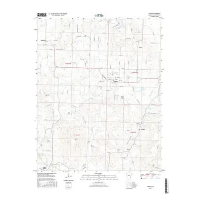
2017 Map of Lincoln
USGS Topo · Published 2017About this map
Lincoln serves as the central hub of this Northwest Arkansas landscape, where the Ozark foothills meet a network of rural settlements including Summers, Canehill, and Dutch Mills. The terrain is defined by prominent elevations such as Sugartree Mtn and Sugar Hill, while the local hydrology is dominated by the Baron Fork and the recreational waters of Lincoln Lake. For family historians, the area is notably dense with small burial grounds, including the White Rock Cem, Cheatham Cem, and McClellan Cem. Transportation and small-scale infrastructure are represented by the Luginbuel Farm Airport and a grid of rural routes like N Old Cincinnati Rd. The map illustrates a transitional landscape where established agricultural operations and scattered residential clusters follow the paths of Jordan Cr and Moores Cr, reflecting the long-standing settlement patterns of Washington County.
Find a feature on this map
136 named features on this map. Tap any name to fly to it.
Don’t see what you’re looking for? This feature index may not catch every label — zoom into the map to look around manually.
Map Details
Editions of this 2017 Lincoln Map
This is the sole edition of this map. No revisions or reprints were ever made.
Other maps of this area

1898 · Tahlequah
USGS Topo · 1:125,000

1898 · Winslow
USGS Topo · 1:125,000

1899 · Fayetteville
USGS Topo · 1:125,000

1899 · Siloam Springs
USGS Topo · 1:125,000

1901 · Winslow
USGS Topo · 1:125,000

1901 · Fayetteville
USGS Topo · 1:125,000

1901 · Tahlequah
USGS Topo · 1:125,000

1903 · Siloam Springs
USGS Topo · 1:125,000

1904 · Siloam Springs
USGS Topo · 1:125,000

1904 · Fayetteville
USGS Topo · 1:125,000