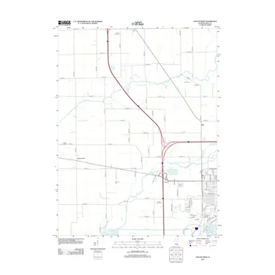
2012 Map of Lincoln West
USGS Topo · Published 2012About this map
Logan County farmland surrounds the western outskirts of Lincoln, where the prairie landscape is defined by the winding courses of Sugar Cr, Kickapoo Cr, and Salt Cr. This 2012 survey illustrates the modern transportation corridor where Interstate 55 intersects local routes near the small settlements of Burton View and Bell. Local heritage is preserved in numerous rural burial grounds, including the Hartsburg Union Cem, Musick Cem, and Rimerman Cem, which serve as significant markers for genealogists and local historians. The transition from agricultural acreage to industrial and residential development is evident along N Lincoln Pkwy and Illini Ave, while recreational and natural features like Allison Lake and Lincoln Lakes provide contrast to the geometric grid of county roads such as 2100th St and 1700th St.
Find a feature on this map
50 named features on this map. Tap any name to fly to it.
Don’t see what you’re looking for? This feature index may not catch every label — zoom into the map to look around manually.
Map Details
Editions of this 2012 Lincoln West Map
This is the sole edition of this map. No revisions or reprints were ever made.
Other maps of this area

1911 · Lincoln
USGS Topo · 1:62,500

1913 · Lincoln
USGS Topo · 1:62,500

1942 · Delavan
USGS Topo · 1:62,500

1948 · Mason City
USGS Topo · 1:62,500

1949 · Mason City
USGS Topo · 1:62,500

1951 · Minier
USGS Topo · 1:62,500

1958 · Peoria
USGS Topo · 1:250,000

1961 · Peoria
USGS Topo · 1:250,000

1963 · Peoria
USGS Topo · 1:250,000

1980 · Armington
USGS Topo · 1:24,000