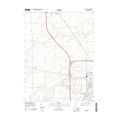
2015 Map of Lincoln West
USGS Topo · Published 2015About this map
Lincoln and its western outskirts are the primary focus of this Illinois study, where the urban grid of the Logan County seat meets the vast agricultural sections of the prairie. The landscape is defined by the convergence of major waterways, including Sugar Creek, Kickapoo Creek, and Salt Creek, which frame the southern and western approaches to the city. The area around Lincoln Lakes and Allison Lake reflects a complex relationship between the natural floodplains and the engineered environment.
Find a feature on this map
78 named features on this map. Tap any name to fly to it.
Don’t see what you’re looking for? This feature index may not catch every label — zoom into the map to look around manually.
Map Details
Editions of this 2015 Lincoln West Map
This is the sole edition of this map. No revisions or reprints were ever made.
Other maps of this area

1911 · Lincoln
USGS Topo · 1:62,500

1913 · Lincoln
USGS Topo · 1:62,500

1942 · Delavan
USGS Topo · 1:62,500

1948 · Mason City
USGS Topo · 1:62,500

1949 · Mason City
USGS Topo · 1:62,500

1951 · Minier
USGS Topo · 1:62,500

1958 · Peoria
USGS Topo · 1:250,000

1961 · Peoria
USGS Topo · 1:250,000

1963 · Peoria
USGS Topo · 1:250,000

1980 · Armington
USGS Topo · 1:24,000