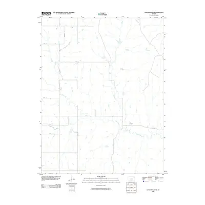
2009 Map of Lincolnville NE
USGS Topo · Published 2009About this map
Middle Creek and its tributary, Stribby Creek, define the drainage patterns of this rural Marion County landscape. The area is characterized by a high-resolution grid of local thoroughfares such as Bluestem Rd and Banner Rd, which facilitate movement between the vast agricultural sections. The presence of the Elk Cemetery serves as a central landmark for genealogical research and local history, situated near where the creek beds begin to wind more tightly. This map captures the late-2000s rural infrastructure, illustrating how modern roads like Clover Rd and County Rd align with the historic section lines while respecting the natural topography of the watershed.
Find a feature on this map
14 named features on this map. Tap any name to fly to it.
Don’t see what you’re looking for? This feature index may not catch every label — zoom into the map to look around manually.
Map Details
Editions of this 2009 Lincolnville NE Map
This is the sole edition of this map. No revisions or reprints were ever made.
Other maps of this area

1889 · Parkerville
USGS Topo · 1:125,000

1894 · Parkerville
USGS Topo · 1:125,000

1898 · Cottonwood Falls
USGS Topo · 1:125,000

1955 · Hutchinson
USGS Topo · 1:250,000

1957 · Elmdale
USGS Topo · 1:24,000

1957 · Cedar Point
USGS Topo · 1:24,000

1957 · Lincolnville SW
USGS Topo · 1:24,000

1957 · Hymer
USGS Topo · 1:24,000

1959 · Hutchinson
USGS Topo · 1:250,000

1970 · Lincolnville NE
USGS Topo · 1:24,000