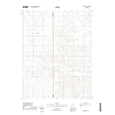
2018 Map of Lincolnville NE
USGS Topo · Published 2018About this map
The Marion Co Chase Co line divides this rural landscape where the headwaters of several drainages carve through the central Kansas plains. The terrain is defined by the winding paths of Middle Creek and its tributaries, including Stribby Cr and Pickett Cr. A sparse network of gravel and section-line roads, such as Alfalfa Rd and Bluestem Rd, provides access to the agricultural acreage that dominates the quadrangle.
Find a feature on this map
30 named features on this map. Tap any name to fly to it.
Don’t see what you’re looking for? This feature index may not catch every label — zoom into the map to look around manually.
Map Details
Editions of this 2018 Lincolnville NE Map
This is the sole edition of this map. No revisions or reprints were ever made.
Other maps of this area

1889 · Parkerville
USGS Topo · 1:125,000

1894 · Parkerville
USGS Topo · 1:125,000

1898 · Cottonwood Falls
USGS Topo · 1:125,000

1955 · Hutchinson
USGS Topo · 1:250,000

1957 · Elmdale
USGS Topo · 1:24,000

1957 · Cedar Point
USGS Topo · 1:24,000

1957 · Lincolnville SW
USGS Topo · 1:24,000

1957 · Hymer
USGS Topo · 1:24,000

1959 · Hutchinson
USGS Topo · 1:250,000

1970 · Lincolnville NE
USGS Topo · 1:24,000