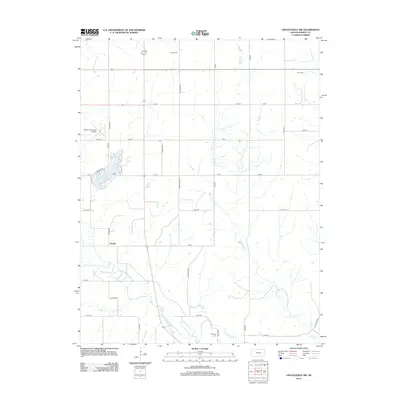
2012 Map of Lincolnville SW
USGS Topo · Published 2012About this map
Oursler sits at the intersection of a sprawling rural grid in Marion County, where the plains are defined by the meandering course of the Cottonwood River and Martin Cr. This 2012 survey illustrates a landscape primarily dedicated to agriculture, punctuated by vital community anchors such as Harter Cem, Grant Cem, and Hillcrest Cem. To the west, the Marion County Lake provides a significant hydrological and recreational feature, bordered by Lakeshore Dr and Rock Rd. The presence of the Marion Municipal Airport and a network of named section roads like Wagonwheel Rd and Whitetail Rd indicates the area's modern infrastructure while preserving the historical footprints of earlier family farms. Notable water sources like City Spring further highlight the natural features that historically dictated settlement patterns in this part of Kansas.
Find a feature on this map
32 named features on this map. Tap any name to fly to it.
Don’t see what you’re looking for? This feature index may not catch every label — zoom into the map to look around manually.
Map Details
Editions of this 2012 Lincolnville SW Map
This is the sole edition of this map. No revisions or reprints were ever made.
Other maps of this area

1889 · Newton
USGS Topo · 1:125,000

1894 · Newton
USGS Topo · 1:125,000

1898 · Cottonwood Falls
USGS Topo · 1:125,000

1955 · Hutchinson
USGS Topo · 1:250,000

1957 · Florence
USGS Topo · 1:24,000

1957 · Wonsevu
USGS Topo · 1:24,000

1957 · Cedar Point
USGS Topo · 1:24,000

1957 · Lincolnville SW
USGS Topo · 1:24,000

1957 · Peabody
USGS Topo · 1:24,000

1959 · Hutchinson
USGS Topo · 1:250,000