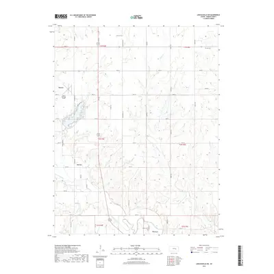
2018 Map of Lincolnville SW
USGS Topo · Published 2018About this map
Marion County Lake serves as a central geographic anchor for this part of Marion County, where the plains are etched by the meandering Cottonwood River. The landscape is defined by a rigorous section-line road grid, including Vista Rd and Upland Rd, which organizes the agricultural territory between the settlements of Marion and Florence. A collection of small family and community burial grounds, such as Harter Cem, Grant Cem, and Hillcrest Cem, provides a genealogical framework for the region.
Find a feature on this map
42 named features on this map. Tap any name to fly to it.
Don’t see what you’re looking for? This feature index may not catch every label — zoom into the map to look around manually.
Map Details
Editions of this 2018 Lincolnville SW Map
This is the sole edition of this map. No revisions or reprints were ever made.
Other maps of this area

1889 · Newton
USGS Topo · 1:125,000

1894 · Newton
USGS Topo · 1:125,000

1898 · Cottonwood Falls
USGS Topo · 1:125,000

1955 · Hutchinson
USGS Topo · 1:250,000

1957 · Florence
USGS Topo · 1:24,000

1957 · Wonsevu
USGS Topo · 1:24,000

1957 · Cedar Point
USGS Topo · 1:24,000

1957 · Lincolnville SW
USGS Topo · 1:24,000

1957 · Peabody
USGS Topo · 1:24,000

1959 · Hutchinson
USGS Topo · 1:250,000