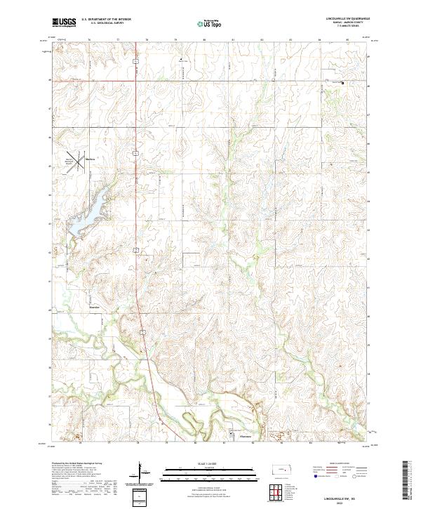
2022 Map of Lincolnville SW
USGS Topo · Published 2022About this map
The Cottonwood River valley anchors this rural survey of Marion County, tracing the waterway as it flows toward Florence. This agricultural landscape is defined by a rigorous section-line grid of local roads, such as Vista Rd and Yarrow Rd, which connect scattered homesteads and small municipal centers. To the northwest, the edge of Marion is visible alongside the Marion Municipal Airport, while the smaller settlement of Oursler sits further south along the river. Genealogists will find several burial grounds documented across the townships, including Harter Cem in the north and Hillcrest Cem near the riverbanks. The importance of local water sources is noted by features like City Spring and the converging courses of Martin Cr and Catlin Cr, which have shaped the local topography and settlement patterns.
Find a feature on this map
39 named features on this map. Tap any name to fly to it.
Don’t see what you’re looking for? This feature index may not catch every label — zoom into the map to look around manually.
Map Details
Editions of this 2022 Lincolnville SW Map
This is the sole edition of this map. No revisions or reprints were ever made.
Other maps of this area

1889 · Newton
USGS Topo · 1:125,000

1894 · Newton
USGS Topo · 1:125,000

1898 · Cottonwood Falls
USGS Topo · 1:125,000

1955 · Hutchinson
USGS Topo · 1:250,000

1957 · Florence
USGS Topo · 1:24,000

1957 · Wonsevu
USGS Topo · 1:24,000

1957 · Cedar Point
USGS Topo · 1:24,000

1957 · Lincolnville SW
USGS Topo · 1:24,000

1957 · Peabody
USGS Topo · 1:24,000

1959 · Hutchinson
USGS Topo · 1:250,000