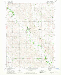
1966 Map of Lindsay
USGS Topo · Published 1967About this map
Lindsay serves as the central hub of this Nebraska prairie landscape, situated near the intersection of the Walker and St Bernard townships. The map documents a rural environment organized around watercourses like Shell Creek and South Fork Union Creek. The transportation network is defined by a prominent Railroad Grade that cuts diagonally across the northern sections, passing through the village and north toward Madison County.
Find a feature on this map
19 named features on this map. Tap any name to fly to it.
Don’t see what you’re looking for? This feature index may not catch every label — zoom into the map to look around manually.
Map Details
Editions of this 1966 Lindsay Map
2 editions found
Other maps of this area

1955 · Fremont
USGS Topo · 1:250,000

1957 · Fremont
USGS Topo · 1:250,000
1958 · Fremont
USGS Topo · 1:250,000
1958 · St. Edward
USGS Topo · 1:24,000
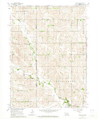
1963 · Closter SE
USGS Topo · 1:24,000
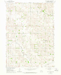
1963 · Battle Creek SE
USGS Topo · 1:24,000
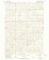
1963 · Battle Creek SW
USGS Topo · 1:24,000
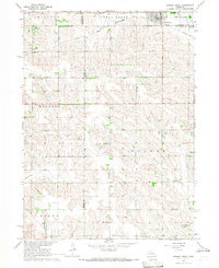
1966 · Newman Grove
USGS Topo · 1:24,000
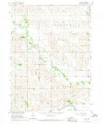
1966 · Tarnov
USGS Topo · 1:24,000
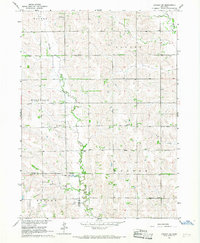
1966 · Lindsay SW
USGS Topo · 1:24,000