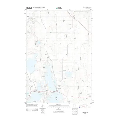
2013 Map of Lindstrom
USGS Topo · Published 2013About this map
Lindstrom and Center City sit as central hubs in this lake-dominated landscape, where the interconnected waters of N Center Lake and S Center Lake dictate the layout of roads and settlements. This 2013 survey reveals a corridor of historical burial grounds that reflect the region's early community foundations, including the Kost Evangelical Free Church Cem and Chisago Lake Cem. The northern reach is defined by the Sunrise River and the settlement of Almelund, while the southern area features the specialized campus of the Hazelden Graduate Sch Of Addiction Studies. Transport routes like Saint Croix Trl and Oasis Rd bridge the gaps between numerous water bodies such as Vibo Lake and Pioneer Lake, illustrating how the glacial topography has shaped modern Minnesota development.
Find a feature on this map
85 named features on this map. Tap any name to fly to it.
Don’t see what you’re looking for? This feature index may not catch every label — zoom into the map to look around manually.
Map Details
Editions of this 2013 Lindstrom Map
This is the sole edition of this map. No revisions or reprints were ever made.
Other maps of this area

1900 · St Croix Dalles
USGS Topo · 1:62,500

1901 · St Croix Dalles
USGS Topo · 1:62,500

1950 · Rush City
USGS Topo · 1:48,000

1951 · Milltown
USGS Topo · 1:48,000

1953 · Stillwater
USGS Topo · 1:250,000

1955 · St. Croix Dalles
USGS Topo · 1:62,500

1955 · Rush City
USGS Topo · 1:62,500

1955 · Milltown
USGS Topo · 1:62,500

1955 · Forest Lake
USGS Topo · 1:62,500

1955 · Stillwater
USGS Topo · 1:250,000