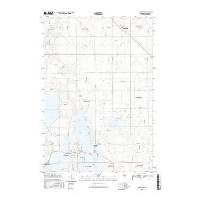
2016 Map of Lindstrom
USGS Topo · Published 2016About this map
Lindstrom and Center City form the heart of this landscape, situated amidst a dense chain of lakes that define the region's geography. The intricate shoreline of N Center Lake, S Center Lake, and the connected N Lindstrom Lake and S Lindstrom Lake create a distinct archipelago-like settlement pattern. To the north, the small communities of Kost and Almelund anchor the rural landscape, which is interspersed with significant local landmarks like Barnes Airport and the Hazelden Graduate Sch of Addiction Studies near the southern boundary.
Find a feature on this map
112 named features on this map. Tap any name to fly to it.
Don’t see what you’re looking for? This feature index may not catch every label — zoom into the map to look around manually.
Map Details
Editions of this 2016 Lindstrom Map
This is the sole edition of this map. No revisions or reprints were ever made.
Other maps of this area

1900 · St Croix Dalles
USGS Topo · 1:62,500

1901 · St Croix Dalles
USGS Topo · 1:62,500

1950 · Rush City
USGS Topo · 1:48,000

1951 · Milltown
USGS Topo · 1:48,000

1953 · Stillwater
USGS Topo · 1:250,000

1955 · St. Croix Dalles
USGS Topo · 1:62,500

1955 · Rush City
USGS Topo · 1:62,500

1955 · Milltown
USGS Topo · 1:62,500

1955 · Forest Lake
USGS Topo · 1:62,500

1955 · Stillwater
USGS Topo · 1:250,000