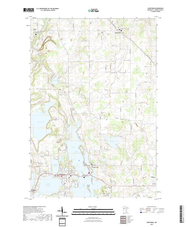
2022 Map of Lindstrom
USGS Topo · Published 2022About this map
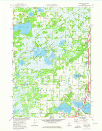
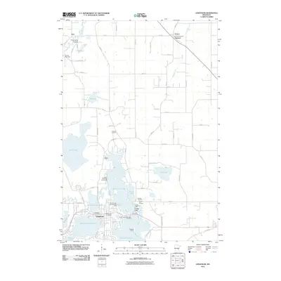
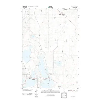
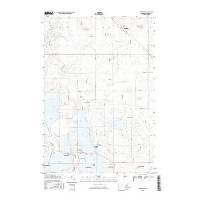
The glacial landscape of Chisago County is defined by an intricate network of interconnected waterways, where Lindstrom and Center City sit on the narrow isthmuses and peninsulas between North Lindstrom Lake, South Lindstrom Lake, and North Center Lake. This modern survey reveals a dense layering of local history, from the rural cemeteries like Almelund Cem and Kost Evangelical Free Church Cem to the institutional footprint of the Hazelden Graduate School of Addiction Studies. The terrain is marked by a transition from the structured residential clusters around Chisago City to the more open, wetland-pocked agricultural lands near Kost and Almelund. The map captures the prominence of Sunset Point and the winding course of the Sunrise River, illustrating how the region's geography has dictated its development into a premier lake-district community.
Find a feature on this map
111 named features on this map. Tap any name to fly to it.
Don’t see what you’re looking for? This feature index may not catch every label — zoom into the map to look around manually.
Map Details
Editions of this 2022 Lindstrom Map
This is the sole edition of this map. No revisions or reprints were ever made.
Historical Maps of Chisago City Through Time
6 maps found