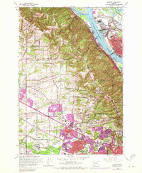
1961 Map of Linnton
USGS Topo · Published 1971About this map
The Willamette River and Multnomah Channel define the industrial and maritime character of this region during the mid-twentieth century. Riverside settlements like Linnton, Harborton, and Miller sit at the base of the Tualatin Mountains, where heavy rail lines including the Spokane Portland and Seattle Ry and Burlington Northern serve the waterfront. A sharp geographic divide exists between the steep, wooded slopes of Forest Park and the rapidly expanding suburban developments to the south and west.
Find a feature on this map
75 named features on this map. Tap any name to fly to it.
Don’t see what you’re looking for? This feature index may not catch every label — zoom into the map to look around manually.
Map Details
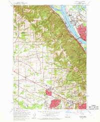
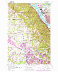
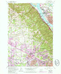
Editions of this 1961 Linnton Map
4 editions found
Other maps of this area

1897 · Portland
USGS Topo · 1:62,500

1905 · Portland
USGS Topo · 1:62,500

1914 · Oregon City
USGS Topo · 1:62,500

1915 · Hillsboro
USGS Topo · 1:62,500

1916 · Tualatin
USGS Topo · 1:62,500

1918 · Hillsboro
USGS Topo · 1:62,500

1939 · Oregon City
USGS Topo · 1:62,500

1939 · Tualatin
USGS Topo · 1:62,500

1940 · Tualatin
USGS Topo · 1:62,500

1940 · Hillsboro
USGS Topo · 1:62,500