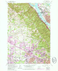
1961 Map of Linnton
USGS Topo · Published 1985About this map
The Tualatin Mountains create a prominent divide between the industrial waterfront of the Willamette River and the expanding residential landscape of Washington County. Along the river, the historic community of Linnton and the St Johns district are linked by the St Johns Bridge, serving as anchors for a heavy industrial corridor featuring the Gasco plant and extensive rail infrastructure. To the west, the steep, wooded terrain of Forest Park gives way to the suburbanizing hills of Bonny Slope and Cedar Mill.
Find a feature on this map
80 named features on this map. Tap any name to fly to it.
Don’t see what you’re looking for? This feature index may not catch every label — zoom into the map to look around manually.
Map Details
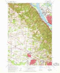
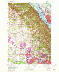
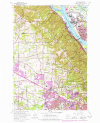
Editions of this 1961 Linnton Map
4 editions found
Other maps of this area

1897 · Portland
USGS Topo · 1:62,500

1905 · Portland
USGS Topo · 1:62,500

1914 · Oregon City
USGS Topo · 1:62,500

1915 · Hillsboro
USGS Topo · 1:62,500

1916 · Tualatin
USGS Topo · 1:62,500

1918 · Hillsboro
USGS Topo · 1:62,500

1939 · Oregon City
USGS Topo · 1:62,500

1939 · Tualatin
USGS Topo · 1:62,500

1940 · Tualatin
USGS Topo · 1:62,500

1940 · Hillsboro
USGS Topo · 1:62,500