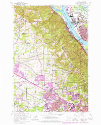
1961 Map of Linnton
USGS Topo · Published 1978About this map
Linnton and St Johns anchor this 1961 study of the northern Portland area, where the Willamette River transitions from industrial waterfronts to the winding Channel around Sauvie Island. The landscape is defined by the sharp rise of the Tualatin Mountains, crossed by Skyline Blvd and Germantown Road. This period captures the steady outward expansion of residential areas into the hills and valleys, visible in the growth of Cedar Mill, Bonny Slope, and Marlene Village. Cultural and community markers are densely plotted, from the Grange Hall near McNamee to various local schools like McKinley Sch and Ridgewood Sch. Further south, the map details the suburban development around Aloha and Huber, while highlighting major infrastructure such as the St Johns Bridge and the rail lines of the Burlington Northern and Union Pacific railroads.
Find a feature on this map
72 named features on this map. Tap any name to fly to it.
Don’t see what you’re looking for? This feature index may not catch every label — zoom into the map to look around manually.
Map Details
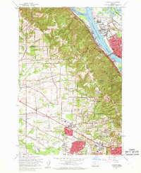
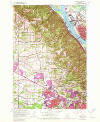
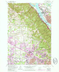
Editions of this 1961 Linnton Map
4 editions found
Other maps of this area

1897 · Portland
USGS Topo · 1:62,500

1905 · Portland
USGS Topo · 1:62,500

1914 · Oregon City
USGS Topo · 1:62,500

1915 · Hillsboro
USGS Topo · 1:62,500

1916 · Tualatin
USGS Topo · 1:62,500

1918 · Hillsboro
USGS Topo · 1:62,500

1939 · Oregon City
USGS Topo · 1:62,500

1939 · Tualatin
USGS Topo · 1:62,500

1940 · Tualatin
USGS Topo · 1:62,500

1940 · Hillsboro
USGS Topo · 1:62,500