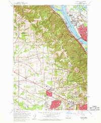
1961 Map of Linnton
USGS Topo · Published 1961About this map
The Willamette River corridor serves as the primary artery for industrial and residential growth in the early 1960s, defined by the towering St Johns Bridge and the heavy rail traffic of the Spokane Portland and Seattle RR. While Linnton and St Johns anchor the riverbanks, the western hills show a landscape in transition. Large expanses of Forest Park crown the heights, while new subdivisions like Marlene Village and Cedar Hills begin to fill the valley floor near the Oregon Electric RR line.
Find a feature on this map
80 named features on this map. Tap any name to fly to it.
Don’t see what you’re looking for? This feature index may not catch every label — zoom into the map to look around manually.
Map Details
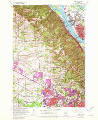
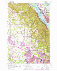
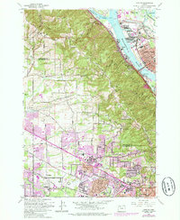
Editions of this 1961 Linnton Map
4 editions found
Other maps of this area

1897 · Portland
USGS Topo · 1:62,500

1905 · Portland
USGS Topo · 1:62,500

1914 · Oregon City
USGS Topo · 1:62,500

1915 · Hillsboro
USGS Topo · 1:62,500

1916 · Tualatin
USGS Topo · 1:62,500

1918 · Hillsboro
USGS Topo · 1:62,500

1939 · Oregon City
USGS Topo · 1:62,500

1939 · Tualatin
USGS Topo · 1:62,500

1940 · Tualatin
USGS Topo · 1:62,500

1940 · Hillsboro
USGS Topo · 1:62,500