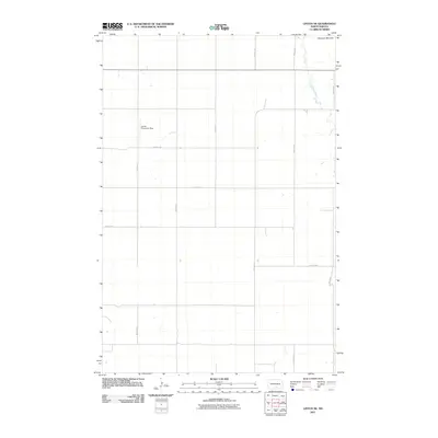
2011 Map of Linton NE
USGS Topo · Published 2011About this map
The Altamont Moraine defines the northeastern corner of this Emmons County landscape, marking the glacial legacy that shaped this portion of the northern plains. This 2011 survey reveals a vast section of rural Tell Township structured by a rigorous section-line road grid, including 15th Ave SE and 18th Ave SE. At the heart of this agricultural expanse lies the Saville Private Air Strip, a localized aviation landmark situated west of the wandering course of Long Lake Creek. The drainage of the creek cuts through the otherwise uniform grid of prairie section lines like 66th St SE and 67th St SE, providing a vital natural waterway for the surrounding ranch and farm lands.
Find a feature on this map
13 named features on this map. Tap any name to fly to it.
Don’t see what you’re looking for? This feature index may not catch every label — zoom into the map to look around manually.
Map Details
Editions of this 2011 Linton NE Map
This is the sole edition of this map. No revisions or reprints were ever made.
Other maps of this area

1953 · Jamestown
USGS Topo · 1:250,000

1954 · Bismarck
USGS Topo · 1:250,000

1956 · Jamestown
USGS Topo · 1:250,000

1958 · Bismarck
USGS Topo · 1:250,000

1975 · Dana
USGS Topo · 1:24,000

1975 · Appert Lake
USGS Topo · 1:24,000

1975 · Linton NE
USGS Topo · 1:24,000

1975 · Braddock
USGS Topo · 1:24,000

1975 · Kintyre
USGS Topo · 1:24,000

1979 · Bismarck
USGS Topo · 1:100,000