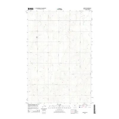
2014 Map of Linton NE
USGS Topo · Published 2014About this map
Saville Private Airport stands as a focal point in this portion of Emmons County, reflecting the specialized local infrastructure of the rural Dakota landscape in the early 21st century. The map reveals a highly structured section-line road network, where routes such as 67th St SE and 18th Ave SE crisscross the prairie at precise intervals. This geometric grid highlights the enduring influence of the Public Land Survey System on modern transportation and land division in the region. In the northeast, the meandering path of Long Lake Cr provides a sharp natural contrast to the rigid human-made grid, following the subtle drainage patterns of the terrain. The presence of the private airstrip amidst these vast agricultural blocks underscores the scale of regional operations where personal aviation bridges the distance between isolated farmsteads and distant hubs.
Find a feature on this map
15 named features on this map. Tap any name to fly to it.
Don’t see what you’re looking for? This feature index may not catch every label — zoom into the map to look around manually.
Map Details
Editions of this 2014 Linton NE Map
This is the sole edition of this map. No revisions or reprints were ever made.
Other maps of this area

1953 · Jamestown
USGS Topo · 1:250,000

1954 · Bismarck
USGS Topo · 1:250,000

1956 · Jamestown
USGS Topo · 1:250,000

1958 · Bismarck
USGS Topo · 1:250,000

1975 · Dana
USGS Topo · 1:24,000

1975 · Appert Lake
USGS Topo · 1:24,000

1975 · Linton NE
USGS Topo · 1:24,000

1975 · Braddock
USGS Topo · 1:24,000

1975 · Kintyre
USGS Topo · 1:24,000

1979 · Bismarck
USGS Topo · 1:100,000