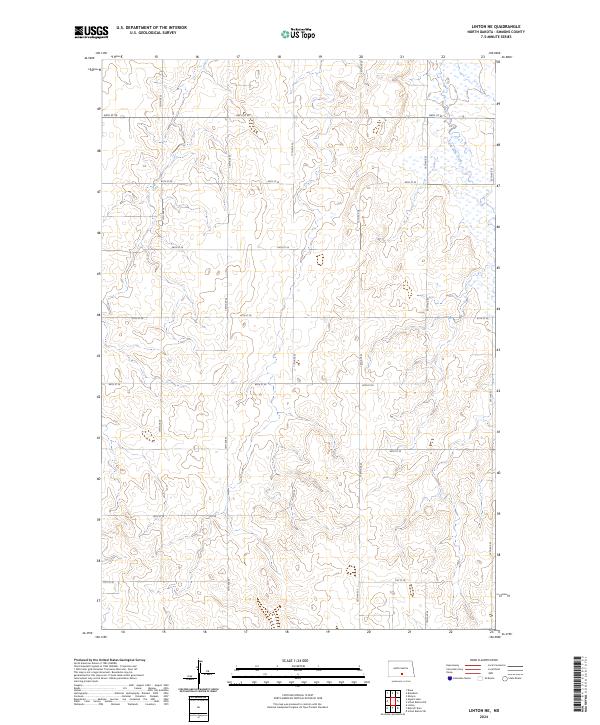
2024 Map of Linton NE
USGS Topo · Published 2024About this map
Long Lake Creek meanders through the northeastern corner of this Emmons County landscape, providing the primary drainage for a terrain defined by its regular section-line road grid. The map's layout is dictated by a network of rural routes, including 64th St SE and 71st St SE, which facilitate travel across the undulating prairie. This area reflects the late-modern agricultural organization of the Great Plains, where the Public Land Survey System has shaped every aspect of human movement and land use.
Find a feature on this map
19 named features on this map. Tap any name to fly to it.
Don’t see what you’re looking for? This feature index may not catch every label — zoom into the map to look around manually.
Map Details
Editions of this 2024 Linton NE Map
This is the sole edition of this map. No revisions or reprints were ever made.
Other maps of this area

1953 · Jamestown
USGS Topo · 1:250,000

1954 · Bismarck
USGS Topo · 1:250,000

1956 · Jamestown
USGS Topo · 1:250,000

1958 · Bismarck
USGS Topo · 1:250,000

1975 · Dana
USGS Topo · 1:24,000

1975 · Appert Lake
USGS Topo · 1:24,000

1975 · Linton NE
USGS Topo · 1:24,000

1975 · Braddock
USGS Topo · 1:24,000

1975 · Kintyre
USGS Topo · 1:24,000

1979 · Bismarck
USGS Topo · 1:100,000