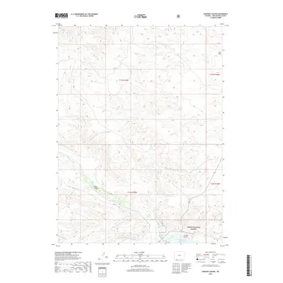
2018 Map of Linwood Canyon
USGS Topo · Published 2018About this map
Henrys Fork winds through the high desert landscape of Sweetwater County, marking a vital water source in this arid region of southwestern Wyoming. The southern portion of this 2018 survey reveals the edge of the Ashley National Forest and the northern reaches of the Flaming Gorge Reservoir, a major geographic feature on the Green River system. The complex network of irrigation, essential to the local agricultural history, is documented through features like the Peoples Canal and the Sheep Cr Irrigation Canal, which divert water from the Cottonwood Cr drainage. Steep-walled drainages like Linwood Canyon and seasonal watercourses such as Franklin Wash and Anvil Wash define the topography, illustrating the erosional patterns of the high plateau and the infrastructure required to manage water in the Wyoming basin.
Find a feature on this map
15 named features on this map. Tap any name to fly to it.
Don’t see what you’re looking for? This feature index may not catch every label — zoom into the map to look around manually.
Map Details
Editions of this 2018 Linwood Canyon Map
This is the sole edition of this map. No revisions or reprints were ever made.
Other maps of this area

1885 · Ashley
USGS Topo · 1:250,000

1906 · Marsh Peak
USGS Topo · 1:125,000

1908 · Marsh Peak
USGS Topo · 1:125,000

1952 · Flaming Gorge
USGS Topo · 1:24,000

1954 · Vernal
USGS Topo · 1:250,000

1954 · Rock Springs
USGS Topo · 1:250,000

1958 · Vernal
USGS Topo · 1:250,000

1958 · Rock Springs
USGS Topo · 1:250,000

1960 · Vernal
USGS Topo · 1:250,000

1962 · Rock Springs
USGS Topo · 1:250,000