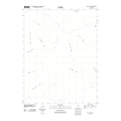
2011 Map of Lion Canyon
USGS Topo · Published 2011About this map
Mc Pherson Range anchors this high-desert landscape in Grand County, defined by a complex network of drainage systems and prominent landforms. The topography is dominated by deep seasonal channels such as Lion Canyon, Upper Bear Canyon, and Lower Bear Canyon, which slice through the plateau. Water resources are primarily represented by Florence Creek in the north and Coal Creek to the south, marking the critical watercourses of this arid region.
Find a feature on this map
14 named features on this map. Tap any name to fly to it.
Don’t see what you’re looking for? This feature index may not catch every label — zoom into the map to look around manually.
Map Details
Editions of this 2011 Lion Canyon Map
This is the sole edition of this map. No revisions or reprints were ever made.
Other maps of this area

1885 · East Tavaputs
USGS Topo · 1:250,000

1886 · Price River
USGS Topo · 1:250,000

1896 · Price River
USGS Topo · 1:250,000

1954 · Range Creek
USGS Topo · 1:62,500

1956 · Price
USGS Topo · 1:250,000

1956 · Grand Junction
USGS Topo · 1:250,000

1959 · Grand Junction
USGS Topo · 1:250,000

1960 · Price
USGS Topo · 1:250,000

1960 · Grand Junction
USGS Topo · 1:250,000

1962 · Grand Junction
USGS Topo · 1:250,000