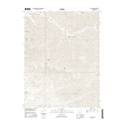
2017 Map of Lion Canyon
USGS Topo · Published 2017About this map
McPherson Range dominates the central landscape of this Grand County region, where intricate drainage patterns have carved a labyrinth of canyons into the plateau. The topography is defined by the winding course of Florence Cr to the north and Coal Cr in the south, separated by high-elevation landmarks such as Bear Trap Knoll. The presence of distinctive geological features like Broken Finger Arch suggests a landscape of significant erosion and natural landmarks that have long served as orienting points in the backcountry.
Find a feature on this map
20 named features on this map. Tap any name to fly to it.
Don’t see what you’re looking for? This feature index may not catch every label — zoom into the map to look around manually.
Map Details
Editions of this 2017 Lion Canyon Map
This is the sole edition of this map. No revisions or reprints were ever made.
Other maps of this area

1885 · East Tavaputs
USGS Topo · 1:250,000

1886 · Price River
USGS Topo · 1:250,000

1896 · Price River
USGS Topo · 1:250,000

1954 · Range Creek
USGS Topo · 1:62,500

1956 · Price
USGS Topo · 1:250,000

1956 · Grand Junction
USGS Topo · 1:250,000

1959 · Grand Junction
USGS Topo · 1:250,000

1960 · Price
USGS Topo · 1:250,000

1960 · Grand Junction
USGS Topo · 1:250,000

1962 · Grand Junction
USGS Topo · 1:250,000