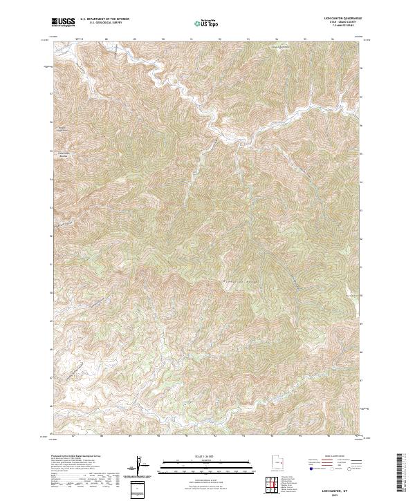
2023 Map of Lion Canyon
USGS Topo · Published 2023About this map
McPherson Range dominates this corner of Grand County, where high plateaus are dissected by a complex system of drainage corridors. The landscape is defined by its dramatic geologic formations, including the distinctive Broken Finger Arch and the broad expanses of the Three-Fords Benches. Water is the primary architect here, with Florence Creek and Coal Creek carving through the terrain, flanked by notable high points like Slough Canyon Point and Bear Trap Knoll. This 2023 survey illustrates the intricate network of vertical relief and named canyons such as Lion Canyon and Saleratus Canyon, providing a clear look at the remote topography of the Utah wilderness as it remains in the early 21st century.
Find a feature on this map
15 named features on this map. Tap any name to fly to it.
Don’t see what you’re looking for? This feature index may not catch every label — zoom into the map to look around manually.
Map Details
Editions of this 2023 Lion Canyon Map
This is the sole edition of this map. No revisions or reprints were ever made.
Other maps of this area

1885 · East Tavaputs
USGS Topo · 1:250,000

1886 · Price River
USGS Topo · 1:250,000

1896 · Price River
USGS Topo · 1:250,000

1954 · Range Creek
USGS Topo · 1:62,500

1956 · Price
USGS Topo · 1:250,000

1956 · Grand Junction
USGS Topo · 1:250,000

1959 · Grand Junction
USGS Topo · 1:250,000

1960 · Price
USGS Topo · 1:250,000

1960 · Grand Junction
USGS Topo · 1:250,000

1962 · Grand Junction
USGS Topo · 1:250,000