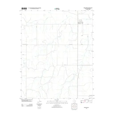
2012 Map of Lipscomb
USGS Topo · Published 2012About this map
Lipscomb serves as the focal point of this Panhandle landscape, where a grid of streets including Main St, Plum St, and Oak St marks the center of local life. The surrounding area is defined by a dense network of seasonal and perennial drainage, with Wolf Creek running across the northern portion of the quadrangle. Several tributaries, such as Fourth Creek, Fifth Creek, and Dugout Creek, carve through the terrain, suggesting a complex watershed that dictates the placement of ranch roads and county lines. To the south of the settlement, Saint Johns Cemetery provides a primary point of interest for those tracing local family histories. The rural landscape is partitioned by long straightaways like Ranch Road 1920 and Co Road T, reflecting the orderly land division typical of this high plains region.
Find a feature on this map
26 named features on this map. Tap any name to fly to it.
Don’t see what you’re looking for? This feature index may not catch every label — zoom into the map to look around manually.
Map Details
Editions of this 2012 Lipscomb Map
This is the sole edition of this map. No revisions or reprints were ever made.
Other maps of this area

1954 · Perryton
USGS Topo · 1:250,000

1958 · Perryton
USGS Topo · 1:250,000

1972 · Barton Corners
USGS Topo · 1:24,000

1972 · Dugout Creek
USGS Topo · 1:24,000

1972 · Skunk Creek
USGS Topo · 1:24,000

1972 · Glazier
USGS Topo · 1:24,000

1972 · Willow Creek
USGS Topo · 1:24,000

1972 · Lipscomb
USGS Topo · 1:24,000
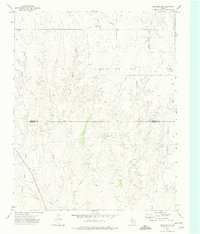
1972 · Lipscomb SW
USGS Topo · 1:24,000

1972 · Coburn
USGS Topo · 1:24,000