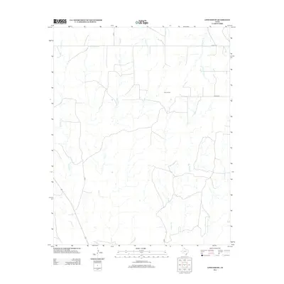
2012 Map of Lipscomb SW
USGS Topo · Published 2012About this map
Kelln Oil Field sits at the heart of this North Texas landscape, illustrating the modern industrial footprint of Lipscomb County. The terrain is defined by a dense network of seasonal drainages and creek beds that feed into larger systems like W Horse Cr and Horse Cr in the west, while Big Timber Cr and its tributaries carve through the eastern portion of the quadrangle. This area is characterized by its rural infrastructure, where named routes like Co RD 6 and Co RD 7 provide the primary access for ranching and energy operations. The presence of Locust Grv in the northeastern corner suggests a localized point of interest or historical gathering place, while the numerous branches of S Prong Sand Cr and E Prong Big Timber Cr showcase the intricate natural drainage patterns essential to understanding the local topography and land use.
Find a feature on this map
12 named features on this map. Tap any name to fly to it.
Don’t see what you’re looking for? This feature index may not catch every label — zoom into the map to look around manually.
Map Details
Editions of this 2012 Lipscomb SW Map
This is the sole edition of this map. No revisions or reprints were ever made.
Other maps of this area

1954 · Perryton
USGS Topo · 1:250,000

1954 · Amarillo
USGS Topo · 1:250,000

1958 · Perryton
USGS Topo · 1:250,000

1958 · Amarillo
USGS Topo · 1:250,000

1972 · Barton Corners
USGS Topo · 1:24,000

1972 · Canadian West
USGS Topo · 1:24,000

1972 · East Dry Creek
USGS Topo · 1:24,000

1972 · Canadian East
USGS Topo · 1:24,000

1972 · Glazier
USGS Topo · 1:24,000

1972 · Lipscomb
USGS Topo · 1:24,000