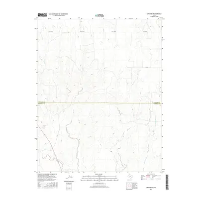
2016 Map of Lipscomb SW
USGS Topo · Published 2016About this map
Locust Grove defines the northern reaches of this High Plains landscape, situated along the county line where the Panhandle terrain begins to break into intricate drainage networks. The area is characterized by a series of significant watercourses that carve through the cattle country of the northeast Texas Panhandle, including Horse Creek and Big Timber Creek. These natural features reveal the underlying topography of the region, where the broad plateaus give way to more complex creek beds and draws.
Find a feature on this map
14 named features on this map. Tap any name to fly to it.
Don’t see what you’re looking for? This feature index may not catch every label — zoom into the map to look around manually.
Map Details
Editions of this 2016 Lipscomb SW Map
This is the sole edition of this map. No revisions or reprints were ever made.
Other maps of this area

1954 · Perryton
USGS Topo · 1:250,000

1954 · Amarillo
USGS Topo · 1:250,000

1958 · Perryton
USGS Topo · 1:250,000

1958 · Amarillo
USGS Topo · 1:250,000

1972 · Barton Corners
USGS Topo · 1:24,000

1972 · Canadian West
USGS Topo · 1:24,000

1972 · East Dry Creek
USGS Topo · 1:24,000

1972 · Canadian East
USGS Topo · 1:24,000

1972 · Glazier
USGS Topo · 1:24,000

1972 · Lipscomb
USGS Topo · 1:24,000