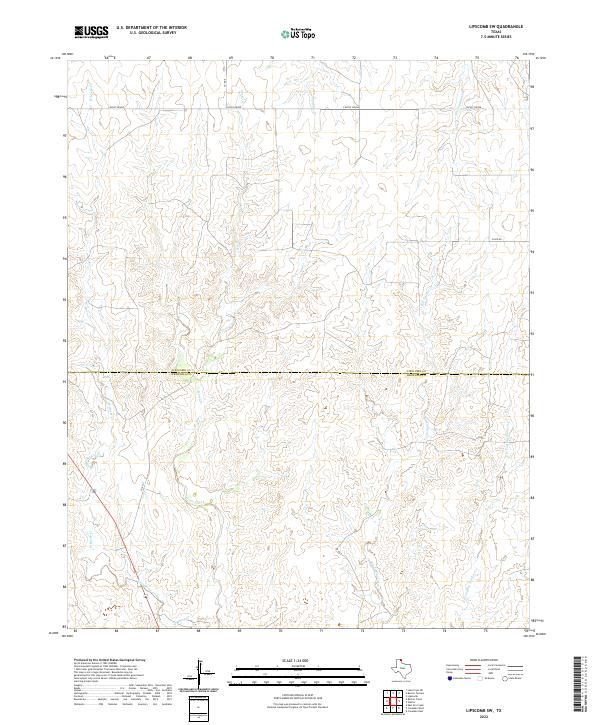
2022 Map of Lipscomb SW
USGS Topo · Published 2022About this map
The rolling plains along the Lipscomb and Hemphill County line are defined by a complex drainage network that feeds into the Canadian River watershed. Flowing south through the central portion of the sheet, Horse Creek and its western branch, West Horse Creek, carve distinct paths through the local topography. To the east, Big Timber Creek and the E Prong Big Timber Creek establish the primary drainage for that sector, while Sand Creek and the S Prong Sand Creek occupy the northeastern corner. Settlement in this modern era is sparse, represented by the road network including Co Rd 6 and Co Rd Dd, which serve the agricultural lands and the community of Locust Grove. The map provides a precise look at how these local waterways dictate the placement of ranch roads and the boundaries between these two Texas Panhandle counties.
Find a feature on this map
14 named features on this map. Tap any name to fly to it.
Don’t see what you’re looking for? This feature index may not catch every label — zoom into the map to look around manually.
Map Details
Editions of this 2022 Lipscomb SW Map
This is the sole edition of this map. No revisions or reprints were ever made.
Other maps of this area

1954 · Perryton
USGS Topo · 1:250,000

1954 · Amarillo
USGS Topo · 1:250,000

1958 · Perryton
USGS Topo · 1:250,000

1958 · Amarillo
USGS Topo · 1:250,000

1972 · Barton Corners
USGS Topo · 1:24,000

1972 · Canadian West
USGS Topo · 1:24,000

1972 · East Dry Creek
USGS Topo · 1:24,000

1972 · Canadian East
USGS Topo · 1:24,000

1972 · Glazier
USGS Topo · 1:24,000

1972 · Lipscomb
USGS Topo · 1:24,000