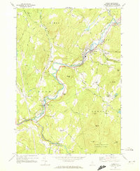
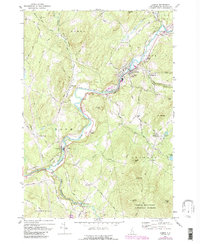
1967 Map of Lisbon
USGS Topo · Published 1972About this map
The Ammonoosuc River carves a winding path through this corner of Grafton County, defining the valley where the Boston and Maine railroad once mirrored its course. During the late 1960s, this area maintained its traditional New England character, with small settlements like Lisbon and Bath serving as local hubs. The landscape is marked by the presence of a Covered Bridge and a Gaging Sta, reflecting the importance of river management and historical infrastructure.
Find a feature on this map
73 named features on this map. Tap any name to fly to it.
Don’t see what you’re looking for? This feature index may not catch every label — zoom into the map to look around manually.
Map Details
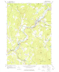
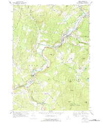
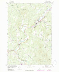
Editions of this 1967 Lisbon Map
5 editions found
Other maps of this area

1929 · Moosilauke
USGS Topo · 1:62,500

1931 · Littleton
USGS Topo · 1:62,500

1931 · Woodsville
USGS Topo · 1:48,000

1932 · Littleton
USGS Topo · 1:48,000

1932 · Moosilauke
USGS Topo · 1:62,500

1935 · Woodsville
USGS Topo · 1:62,500

1935 · Littleton
USGS Topo · 1:62,500

1938 · St. Johnsbury
USGS Topo · 1:48,000

1941 · Woodsville
USGS Topo · 1:62,500

1943 · St. Johnsbury
USGS Topo · 1:62,500