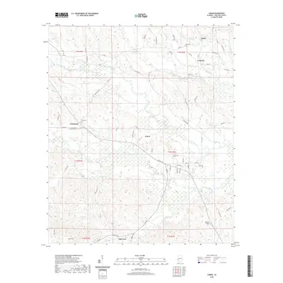
2020 Map of Lisman
USGS Topo · Published 2020About this map
Lisman serves as a central hub in this western Alabama landscape, where the town grid transitions into a network of country roads like Little Hope Rd and Ruffintown Rd. The region's geography is defined by the winding paths of Bogue Chitto and Tuckabum Cr, which snake through the lowlands between the hills of Scott Mtn. Smaller settlements such as Pushmataha and Cromwell are anchored by several community burial grounds, including the Pushmataha Episcopal Cem and Sardis Cem.
Find a feature on this map
75 named features on this map. Tap any name to fly to it.
Don’t see what you’re looking for? This feature index may not catch every label — zoom into the map to look around manually.
Map Details
Editions of this 2020 Lisman Map
This is the sole edition of this map. No revisions or reprints were ever made.
Other maps of this area

1953 · Meridian
USGS Topo · 1:250,000

1957 · Meridian
USGS Topo · 1:250,000

1965 · Meridian
USGS Topo · 1:250,000

1971 · Gaston
USGS Topo · 1:24,000

1974 · Yantley
USGS Topo · 1:24,000

1974 · Ward
USGS Topo · 1:24,000

1974 · Lisman
USGS Topo · 1:24,000
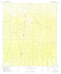
1974 · Hinton
USGS Topo · 1:24,000
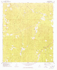
1974 · Land
USGS Topo · 1:24,000
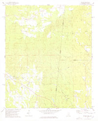
1978 · Whynot
USGS Topo · 1:24,000