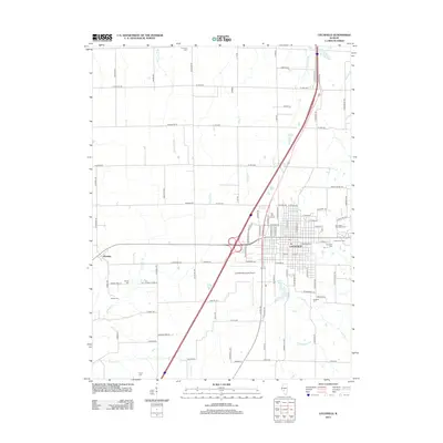
2012 Map of Litchfield
USGS Topo · Published 2012About this map
Litchfield serves as the central hub of this Montgomery County landscape, where the intersection of major transit corridors defines the local geography. The town's grid is dense with landmarks like Elm Lawn Memorial Park and Holy Cross Cem, while the Sky View Drive-In stands as a notable cultural fixture on the north side. To the west, the smaller settlement of Hornsby is situated among an agricultural grid drained by several waterways, including Cahokia Cr and Shaw Point Br. The area's history is preserved in a scattered network of family and community burial grounds such as Karnes Cem and Thornton Cem. Transport and recreation are represented by the Litchfield Municipal Airport and Walton Lake, illustrating the town's role as a regional center for industry and aviation in the early 21st century.
Find a feature on this map
102 named features on this map. Tap any name to fly to it.
Don’t see what you’re looking for? This feature index may not catch every label — zoom into the map to look around manually.
Map Details
Editions of this 2012 Litchfield Map
This is the sole edition of this map. No revisions or reprints were ever made.
Other maps of this area

1912 · Gillespie
USGS Topo · 1:62,500

1915 · Gillespie
USGS Topo · 1:62,500

1915 · Mount Olive
USGS Topo · 1:62,500

1923 · Carlinville
USGS Topo · 1:48,000

1923 · Raymond
USGS Topo · 1:62,500

1925 · Carlinville
USGS Topo · 1:62,500

1925 · Raymond
USGS Topo · 1:62,500

1931 · Carlinville
USGS Topo · 1:62,500

1944 · Mount Olive
USGS Topo · 1:62,500

1958 · Decatur
USGS Topo · 1:250,000