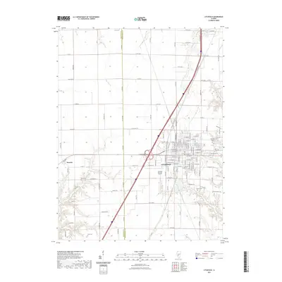
2021 Map of Litchfield
USGS Topo · Published 2021About this map
The city of Litchfield serves as a significant regional crossroads in this modern survey of central Illinois, where the grid of a developed municipality meets the surrounding agricultural landscape of Montgomery County. The map details an extensive array of local cemeteries, including Elmwood Cem, Holy Cross Cem, and the outlying Kinder Cem, which are essential markers for genealogists tracing family histories in the area. Water features such as Walton Lake and Cahokia Cr drain the land, while the Litchfield Municipal Airport and the village of Hornsby to the southwest illustrate the area's continued infrastructure and smaller satellite settlements.
Find a feature on this map
78 named features on this map. Tap any name to fly to it.
Don’t see what you’re looking for? This feature index may not catch every label — zoom into the map to look around manually.
Map Details
Editions of this 2021 Litchfield Map
This is the sole edition of this map. No revisions or reprints were ever made.
Other maps of this area

1912 · Gillespie
USGS Topo · 1:62,500

1915 · Gillespie
USGS Topo · 1:62,500

1915 · Mount Olive
USGS Topo · 1:62,500

1923 · Carlinville
USGS Topo · 1:48,000

1923 · Raymond
USGS Topo · 1:62,500

1925 · Carlinville
USGS Topo · 1:62,500

1925 · Raymond
USGS Topo · 1:62,500

1931 · Carlinville
USGS Topo · 1:62,500

1944 · Mount Olive
USGS Topo · 1:62,500

1958 · Decatur
USGS Topo · 1:250,000