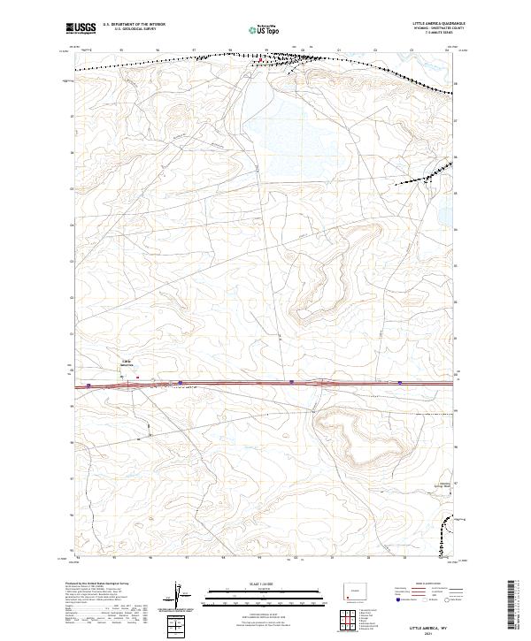
2021 Map of Little America
USGS Topo · Published 2021About this map
Little America serves as a modern waypoint in the high desert of Sweetwater County, defined by the convergence of major transit corridors and the drainage patterns of the Great Divide Basin. The landscape is marked by the seasonal flow of Spider Cr and Meadow Springs Wash, which cut through the sagebrush-covered plains toward the Blacks Fork river. This area reflects the mid-twentieth-century evolution of the American West, where isolated roadside settlements grew to support transcontinental travel. Industrial and rural access is maintained through a network of local roads including Westraco Rd and Fmc Rd, which serve the mineral-rich trona patches nearby. The survey provides a clear view of the Public Land Survey System grid across T19N and T18N, illustrating how township and range boundaries structure this portion of the Wyoming plateau.
Find a feature on this map
13 named features on this map. Tap any name to fly to it.
Don’t see what you’re looking for? This feature index may not catch every label — zoom into the map to look around manually.
Map Details
Editions of this 2021 Little America Map
This is the sole edition of this map. No revisions or reprints were ever made.
Other maps of this area

1954 · Rock Springs
USGS Topo · 1:250,000

1957 · Mc Kinnon Junction
USGS Topo · 1:62,500

1958 · Rock Springs
USGS Topo · 1:250,000

1961 · Blue Point
USGS Topo · 1:24,000

1961 · Little America
USGS Topo · 1:24,000

1961 · Sevenmile Gulch
USGS Topo · 1:24,000

1961 · Granger
USGS Topo · 1:24,000

1961 · Stevens Flat
USGS Topo · 1:24,000

1961 · Bryan
USGS Topo · 1:24,000

1962 · Rock Springs
USGS Topo · 1:250,000