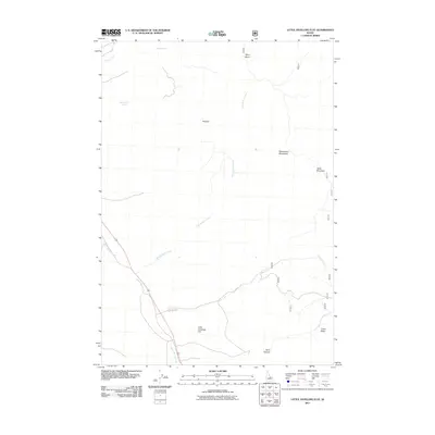
2011 Map of Little Antelope Flat
USGS Topo · Published 2011About this map
Little Antelope Flat serves as a high-altitude plateau within this portion of Custer County, defined by its complex drainage network and elevated landforms. The terrain is marked by the Pahsimeroi Mountains and notable summits such as Table Mountain and Red Hill. Water sources are critical in this landscape, with Gooseberry Spring providing a specific point of interest for those tracking historical water rights or seasonal grazing patterns.
Find a feature on this map
13 named features on this map. Tap any name to fly to it.
Don’t see what you’re looking for? This feature index may not catch every label — zoom into the map to look around manually.
Map Details
Editions of this 2011 Little Antelope Flat Map
This is the sole edition of this map. No revisions or reprints were ever made.
Other maps of this area

1929 · Bayhorse
USGS Topo · 1:125,000

1935 · Borah Peak
USGS Topo · 1:125,000

1938 · Borah Peak
USGS Topo · 1:125,000

1955 · Dubois
USGS Topo · 1:250,000

1956 · Doublespring
USGS Topo · 1:62,500

1956 · May
USGS Topo · 1:62,500

1956 · Challis
USGS Topo · 1:62,500

1957 · Challis
USGS Topo · 1:250,000

1958 · Dubois
USGS Topo · 1:250,000

1960 · Challis
USGS Topo · 1:250,000