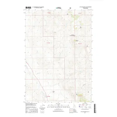
2017 Map of Little Antelope Flat
USGS Topo · Published 2017About this map
Little Antelope Flat occupies a significant plateau within the Custer County high country, as documented in this 2017 survey. The landscape is defined by the convergence of major geographic features, including the eastern reaches of the Challis National Forest and the rugged slopes of the Lost River Range and Pahsimeroi Mountains. The hydrologic network is anchored by Warm Spring Cr, which flows past its namesake Warm Spring, while Hole-in-Rock Cr and Lime Cr drain the surrounding basins. This map illustrates the intersection of high-altitude water sources and cattle-grazing territory, where landmarks like Table Mtn and Red Hill provide orientation across the remote terrain. Notable local features like Spud Basin and Devil Canyon suggest the varied geological character of this section of the Idaho wilderness.
Find a feature on this map
23 named features on this map. Tap any name to fly to it.
Don’t see what you’re looking for? This feature index may not catch every label — zoom into the map to look around manually.
Map Details
Editions of this 2017 Little Antelope Flat Map
This is the sole edition of this map. No revisions or reprints were ever made.
Other maps of this area

1929 · Bayhorse
USGS Topo · 1:125,000

1935 · Borah Peak
USGS Topo · 1:125,000

1938 · Borah Peak
USGS Topo · 1:125,000

1955 · Dubois
USGS Topo · 1:250,000

1956 · Doublespring
USGS Topo · 1:62,500

1956 · May
USGS Topo · 1:62,500

1956 · Challis
USGS Topo · 1:62,500

1957 · Challis
USGS Topo · 1:250,000

1958 · Dubois
USGS Topo · 1:250,000

1960 · Challis
USGS Topo · 1:250,000