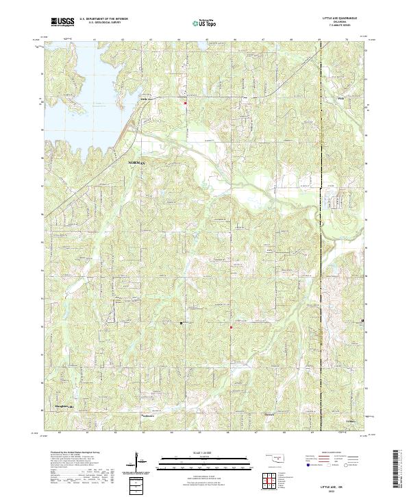
2022 Map of Little Axe
USGS Topo · Published 2022About this map
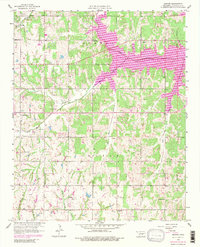
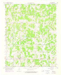
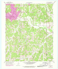
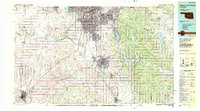
The Little River drainage system dominates this Oklahoma landscape, winding eastward from Lake Thunderbird into a network of creeks including Roulette Cr and Bourbonnais Cr. The settlement of Little Axe serves as a central hub near the Little River State Park boundary, while the surrounding countryside is dotted with small communities like Etowah, Needmore, and Pink. The map reveals a transition from the developing fringes of Norman in the west to the more rural, creek-carved terrain along the Cleveland and Pottawatomie County line.
Find a feature on this map
99 named features on this map. Tap any name to fly to it.
Don’t see what you’re looking for? This feature index may not catch every label — zoom into the map to look around manually.
Map Details
Editions of this 2022 Little Axe Map
This is the sole edition of this map. No revisions or reprints were ever made.
Historical Maps of Needmore Through Time
15 maps found

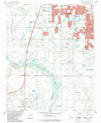
1925 Norman NO 2
Cleveland County, OK
1956 Franklin
Cleveland County, OK
1956 Oklahoma City SE
Cleveland County, OK
1956 Stella
Cleveland County, OK
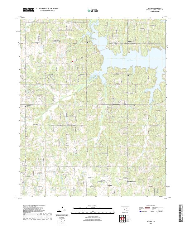
1958 Denver
Cleveland County, OK
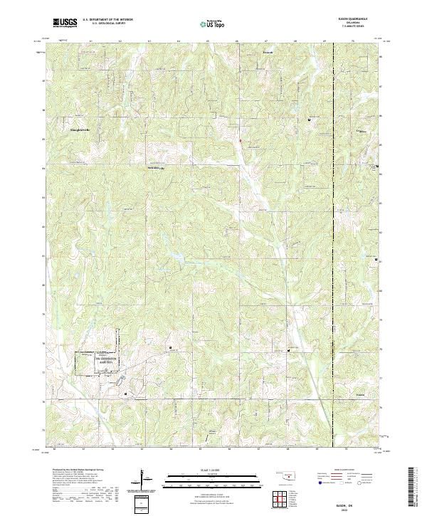
1958 Eason
Cleveland County, OK
1958 Little Axe
Cleveland County, OK
1985 Oklahoma City South
Cleveland County, OK
1986 Oklahoma City SE
Cleveland County, OK
2022 Denver
Cleveland County, OK
2022 Eason
Cleveland County, OK
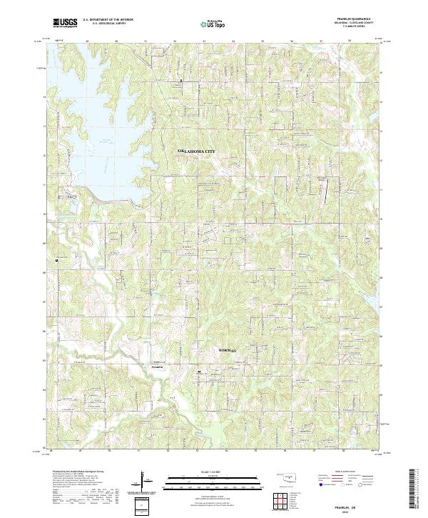
2022 Franklin
Cleveland County, OK
2022 Little Axe
Cleveland County, OK
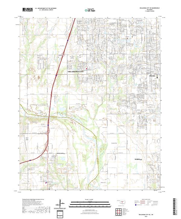
2022 Oklahoma City SE
Cleveland County, OK
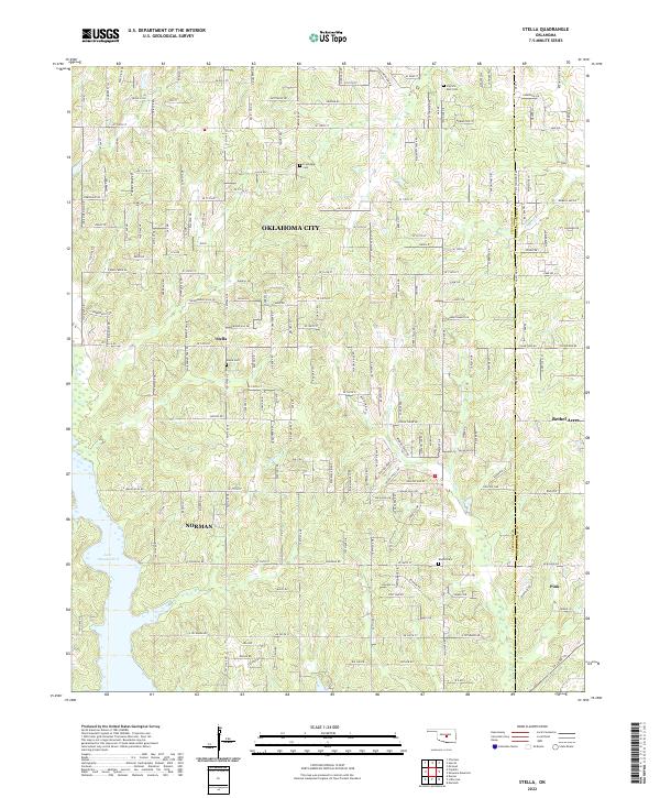
2022 Stella
Cleveland County, OK