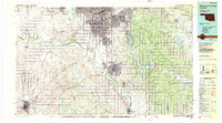
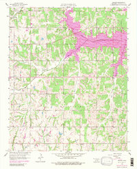
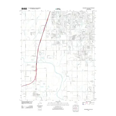
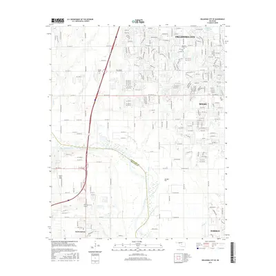
1985 Map of Oklahoma City South
USGS Topo · Published 1990About this map
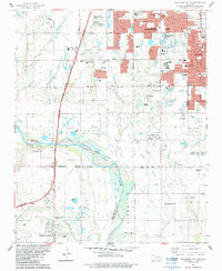
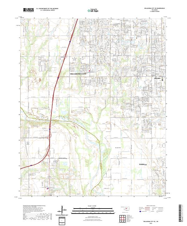
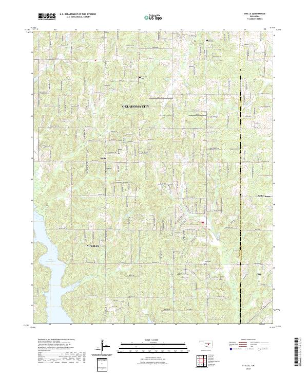
The expansive Canadian River corridor anchors this mid-1980s landscape, illustrating the suburban reach of Oklahoma City as it stretches south toward Norman. The map documents a period of significant regional infrastructure, centered on the strategic presence of Tinker Air Force Base and the Will Rogers World Airport. To the east, the waters of Lake Thunderbird and the surrounding Little River State Park offer a contrast to the dense municipal grids of Midwest City and Del City.
Find a feature on this map
77 named features on this map. Tap any name to fly to it.
Don’t see what you’re looking for? This feature index may not catch every label — zoom into the map to look around manually.
Map Details
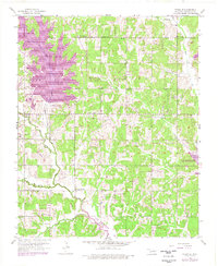
Editions of this 1985 Oklahoma City South Map
2 editions found

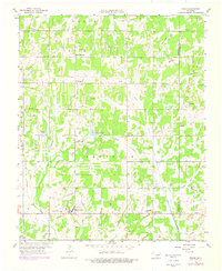
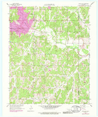
Historical Maps of Oklahoma City Through Time
39 maps found

1925 Norman NO 2
Cleveland County, OK
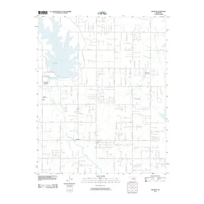
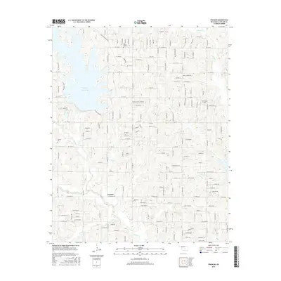
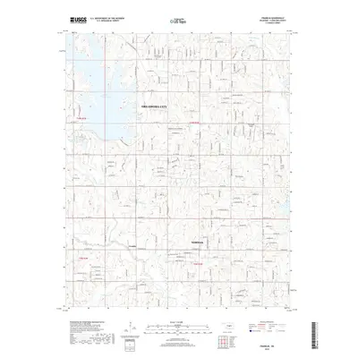
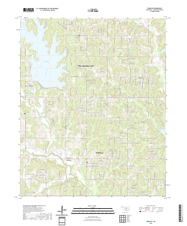
1956 Franklin
Cleveland County, OK
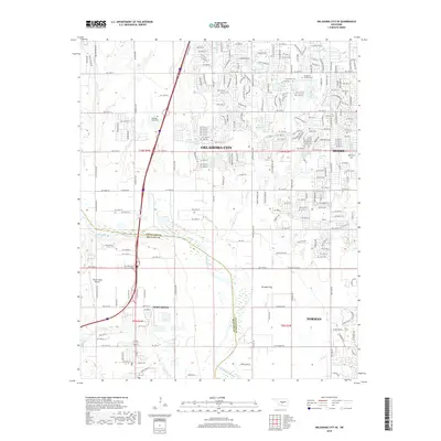
1956 Oklahoma City SE
Cleveland County, OK
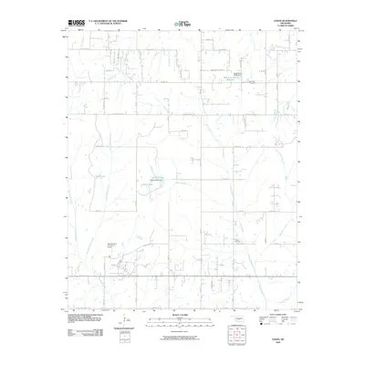
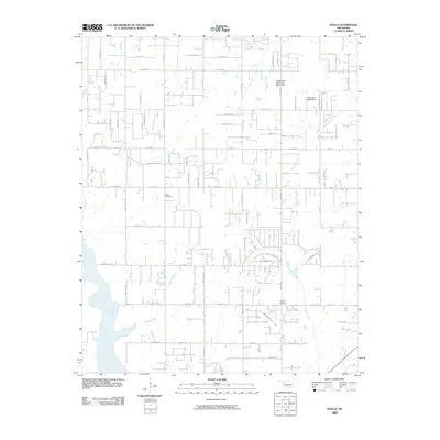
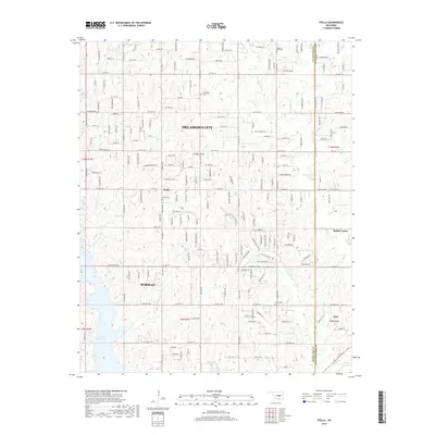
1956 Stella
Cleveland County, OK
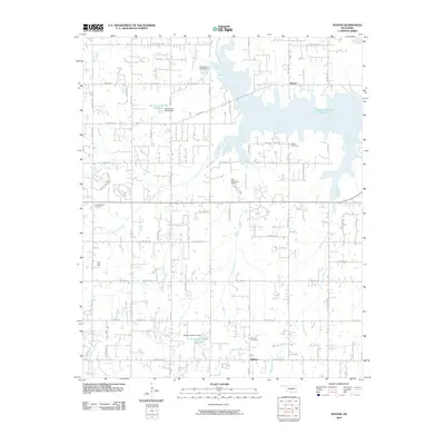
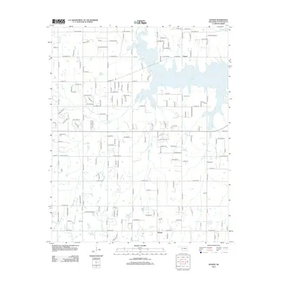
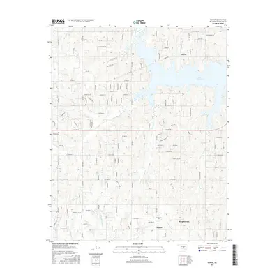
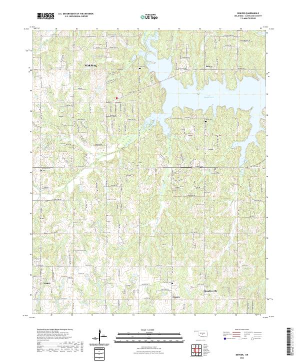
1958 Denver
Cleveland County, OK
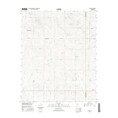
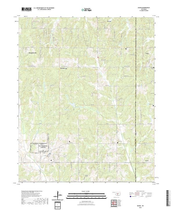
1958 Eason
Cleveland County, OK
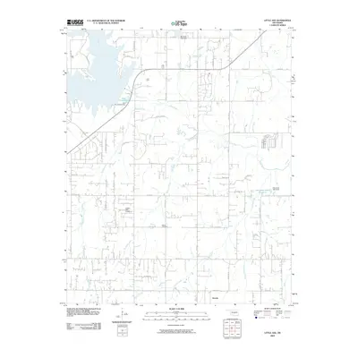
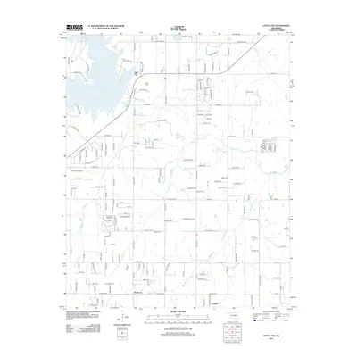
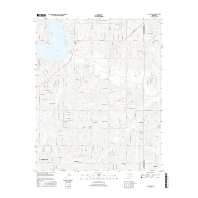
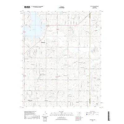
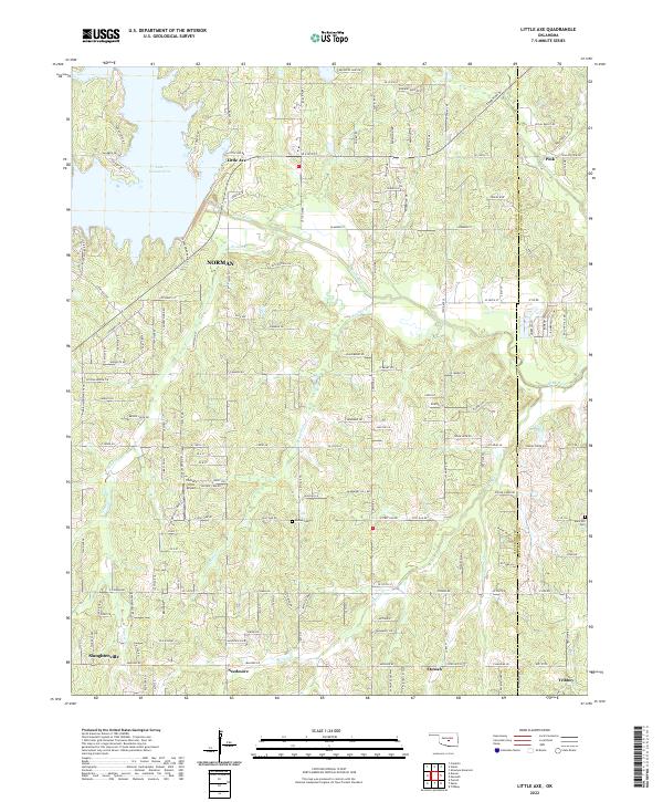
1958 Little Axe
Cleveland County, OK
1985 Oklahoma City South
Cleveland County, OK
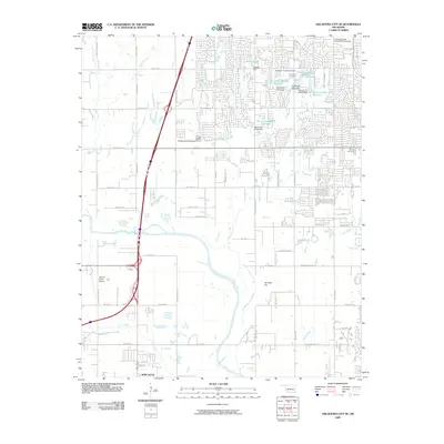
1986 Oklahoma City SE
Cleveland County, OK
2009 Eason
Cleveland County, OK
2009 Little Axe
Cleveland County, OK
2009 Oklahoma City SE
Cleveland County, OK
2009 Stella
Cleveland County, OK
2010 Denver
Cleveland County, OK
2010 Franklin
Cleveland County, OK
2012 Denver
Cleveland County, OK
2012 Little Axe
Cleveland County, OK
2012 Oklahoma City SE
Cleveland County, OK
2012 Stella
Cleveland County, OK
2013 Eason
Cleveland County, OK
2013 Franklin
Cleveland County, OK
2016 Denver
Cleveland County, OK
2016 Eason
Cleveland County, OK
2016 Franklin
Cleveland County, OK
2016 Little Axe
Cleveland County, OK
2016 Oklahoma City SE
Cleveland County, OK
2016 Stella
Cleveland County, OK
2018 Denver
Cleveland County, OK
2018 Eason
Cleveland County, OK
2018 Franklin
Cleveland County, OK
2018 Little Axe
Cleveland County, OK
2018 Oklahoma City SE
Cleveland County, OK
2018 Stella
Cleveland County, OK
2022 Denver
Cleveland County, OK
2022 Eason
Cleveland County, OK
2022 Franklin
Cleveland County, OK
2022 Little Axe
Cleveland County, OK
2022 Oklahoma City SE
Cleveland County, OK
2022 Stella
Cleveland County, OK