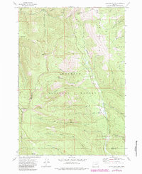
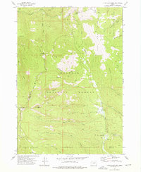
1972 Map of Little Baldy Mtn.
USGS Topo · Published 1984About this map
Whitman National Forest and Malheur National Forest converge at the county line between Grant and Baker counties, defining a landscape of high summits and headwaters. Rising over the terrain are prominent peaks including Little Baldy Mtn, Glacier Mtn, and Sheep Mtn, while Lookout Mtn is capped by a functional Lookout Tower. This high-elevation wilderness is dissected by a complex network of drainages, notably the North Fork Malheur River and the South Fork Elk Creek. Human activity in the early 1970s is evidenced by the Short Creek Forest Service Station and a series of pack trails, such as the Horseshoe Trail and Lookout Mtn Trail, which provided access before more modern road development. Distinctive features like the Big Cow Burn and The Swamp highlight the natural cycles and varied hydrology of the Blue Mountains region during this era.
Find a feature on this map
42 named features on this map. Tap any name to fly to it.
Don’t see what you’re looking for? This feature index may not catch every label — zoom into the map to look around manually.
Map Details
Editions of this 1972 Little Baldy Mtn. Map
2 editions found
Other maps of this area

1908 · Ironside Mountain
USGS Topo · 1:125,000

1955 · Canyon City
USGS Topo · 1:250,000

1959 · Canyon City
USGS Topo · 1:250,000

1959 · Prairie City
USGS Topo · 1:62,500

1961 · Logan Valley
USGS Topo · 1:62,500

1970 · Flag Prairie
USGS Topo · 1:62,500
1972 · Deardorff Mtn
USGS Topo · 1:24,000
1972 · Bullrun Rock
USGS Topo · 1:24,000
1972 · Rail Gulch
USGS Topo · 1:24,000
1972 · Little Baldy Mnt.
USGS Topo · 1:24,000