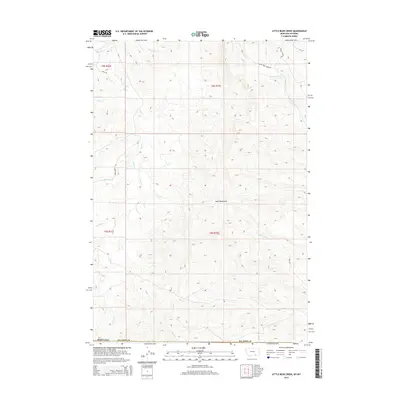
2014 Map of Little Bear Creek
USGS Topo · Published 2014About this map
The Wolf Mountains dominate this high-plains landscape along the border of Montana and Wyoming. The map documents a complex network of seasonal and perennial drainages that define the local topography, including the winding courses of Little Bear Cr, Wolf Cr, and Ash Cr. Settlement patterns are distinctly rural, centered around ranching operations such as the Bar V Ranch and Bar V Ranch NE.
Find a feature on this map
34 named features on this map. Tap any name to fly to it.
Don’t see what you’re looking for? This feature index may not catch every label — zoom into the map to look around manually.
Map Details
Editions of this 2014 Little Bear Creek Map
This is the sole edition of this map. No revisions or reprints were ever made.
Other maps of this area

1894 · Rosebud
USGS Topo · 1:125,000

1895 · Dayton
USGS Topo · 1:125,000

1901 · Rosebud
USGS Topo · 1:125,000

1901 · Dayton
USGS Topo · 1:125,000

1954 · Hardin
USGS Topo · 1:250,000

1955 · Sheridan
USGS Topo · 1:250,000

1957 · Hardin
USGS Topo · 1:250,000

1958 · Hardin
USGS Topo · 1:250,000

1958 · Sheridan
USGS Topo · 1:250,000

1962 · Sheridan
USGS Topo · 1:250,000