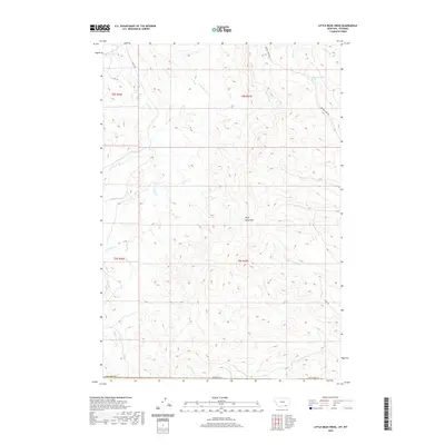
2020 Map of Little Bear Creek
USGS Topo · Published 2020About this map
The Wolf Mountains dominate the landscape along the Montana and Wyoming border, where drainage networks define the high-elevation terrain. This modern survey captures the complex hydrology of the region, anchored by Little Bear Creek and Little Youngs Creek. The area is marked by numerous named drainages such as Line Rider Creek, Coal Creek, and Big Pine Creek, reflecting a geography shaped by seasonal water flow and the rugged demands of the cattle country. Historical ranching and access infrastructure is visible through routes like Youngs Creek Road and Canal Road, while the inclusion of specific water sources like 08S37E26ACAC01 Spring provides precise data for those tracking land use and natural resources in this high-plains environment.
Find a feature on this map
26 named features on this map. Tap any name to fly to it.
Don’t see what you’re looking for? This feature index may not catch every label — zoom into the map to look around manually.
Map Details
Editions of this 2020 Little Bear Creek Map
This is the sole edition of this map. No revisions or reprints were ever made.
Other maps of this area

1894 · Rosebud
USGS Topo · 1:125,000

1895 · Dayton
USGS Topo · 1:125,000

1901 · Rosebud
USGS Topo · 1:125,000

1901 · Dayton
USGS Topo · 1:125,000

1954 · Hardin
USGS Topo · 1:250,000

1955 · Sheridan
USGS Topo · 1:250,000

1957 · Hardin
USGS Topo · 1:250,000

1958 · Hardin
USGS Topo · 1:250,000

1958 · Sheridan
USGS Topo · 1:250,000

1962 · Sheridan
USGS Topo · 1:250,000