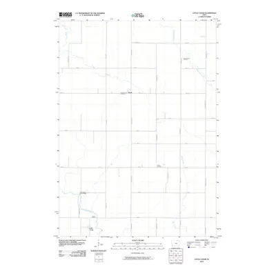
2010 Map of Little Cedar
USGS Topo · Published 2010About this map
The Little Cedar River and its namesake settlement Little Cedar anchor this Mitchell County landscape, reflecting the agricultural and riverine character of northern Iowa. The river is spanned by the Little Cedar River Bridge near the southern boundary, where the community of Little Cedar is situated. This region is defined by a traditional grid of section-line roads, including Primrose Ave and Timber Ave, which connect several local cemeteries that serve as vital records of early family heritage. To the north, the small settlement of Meyer sits near the Sacred Heart Cemetery, while the Wapsipinicon River and Beaver Creek meander through the eastern portion of the quadrangle. Genealogists will find several burial grounds across the rural landscape, from Saint Patrick Cemetery in the northeast to Robbins Cemetery and Liberty Cemetery further south.
Find a feature on this map
26 named features on this map. Tap any name to fly to it.
Don’t see what you’re looking for? This feature index may not catch every label — zoom into the map to look around manually.
Map Details
Editions of this 2010 Little Cedar Map
This is the sole edition of this map. No revisions or reprints were ever made.
Other maps of this area

1954 · Austin
USGS Topo · 1:62,500

1954 · Mason City
USGS Topo · 1:250,000

1957 · Mason City
USGS Topo · 1:250,000

1958 · Mason City
USGS Topo · 1:250,000

1965 · Le Roy
USGS Topo · 1:24,000

1965 · Adams
USGS Topo · 1:24,000

1972 · Osage
USGS Topo · 1:24,000

1972 · Mc Intire
USGS Topo · 1:24,000

1972 · Little Cedar
USGS Topo · 1:24,000

1972 · New Haven
USGS Topo · 1:24,000