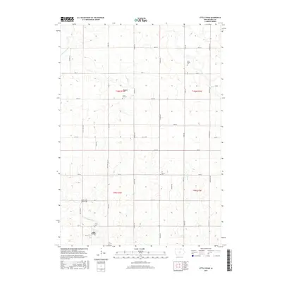
2015 Map of Little Cedar
USGS Topo · Published 2015About this map
Little Cedar and Meyer anchor this northern Iowa landscape, where agricultural tradition is marked by a network of local cemeteries and watercourses. The drainage of the Little Cedar River, crossed by the Little Cedar River Bridge, and the tributary Beaver Cr dictate the layout of the Mitchell County countryside. This survey captures the rural continuity of the region, featuring significant local landmarks like Sacred Heart Cem and Saint Patrick Cem, which serve as vital reference points for genealogical research and community history. The rectilinear road grid, including routes like Poetry Ave and Primrose Ave, reflects the systematic land division of the American Midwest. These roads connect dispersed homesteads with long-standing sites of remembrance, including Robbins Cem and Liberty Cem, preserving the spatial relationships of the township and range system.
Find a feature on this map
35 named features on this map. Tap any name to fly to it.
Don’t see what you’re looking for? This feature index may not catch every label — zoom into the map to look around manually.
Map Details
Editions of this 2015 Little Cedar Map
This is the sole edition of this map. No revisions or reprints were ever made.
Other maps of this area

1954 · Austin
USGS Topo · 1:62,500

1954 · Mason City
USGS Topo · 1:250,000

1957 · Mason City
USGS Topo · 1:250,000

1958 · Mason City
USGS Topo · 1:250,000

1965 · Le Roy
USGS Topo · 1:24,000

1965 · Adams
USGS Topo · 1:24,000

1972 · Osage
USGS Topo · 1:24,000

1972 · Mc Intire
USGS Topo · 1:24,000

1972 · Little Cedar
USGS Topo · 1:24,000

1972 · New Haven
USGS Topo · 1:24,000