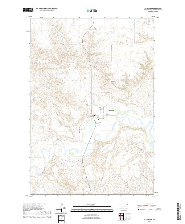
2021 Map of Little Eagle
USGS Topo · Published 2021About this map
Little Eagle sits at a strategic bend where the Grand River snakes through the plains of Corson County. This topographic record highlights a community anchored by its burial grounds and river access, with Saint Pauls Cem, the Catholic Cem, and Elk Horn Cem clustered near the settlement. The landscape is defined by the sharp relief of Elk Butte to the north and the meandering path of the river, which is fed by Little Oak Cr in the southern reaches. A network of rural routes, including Old Hwy 12 and the Jbr Angus Ranch Rd, provides a clear view of the modern land divisions and ranching infrastructure that sustain this region of South Dakota.
Find a feature on this map
25 named features on this map. Tap any name to fly to it.
Don’t see what you’re looking for? This feature index may not catch every label — zoom into the map to look around manually.
Map Details
Editions of this 2021 Little Eagle Map
This is the sole edition of this map. No revisions or reprints were ever made.
Other maps of this area

1953 · McIntosh
USGS Topo · 1:250,000

1956 · Little Eagle SW
USGS Topo · 1:24,000

1956 · Wakpala NW
USGS Topo · 1:24,000

1956 · Little Eagle
USGS Topo · 1:24,000

1956 · Little Eagle SE
USGS Topo · 1:24,000

1956 · Little Eagle NW
USGS Topo · 1:24,000

1956 · Wakpala SW
USGS Topo · 1:24,000

1958 · McIntosh
USGS Topo · 1:250,000

1966 · McLaughlin
USGS Topo · 1:24,000

1966 · Mahto
USGS Topo · 1:24,000