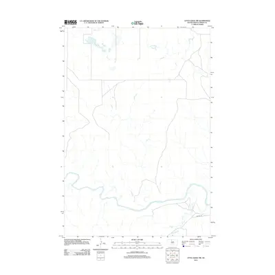
2012 Map of Little Eagle NW
USGS Topo · Published 2012About this map
The Grand River meanders through this portion of the Standing Rock Reservation, carving a wide alluvial valley across the northern plains. This 2012 survey by the U. S. Geological Survey depicts a landscape defined by its watercourses and intermittent drainages, such as High Bank Cr, which feeds into the primary river system from the south. Human infrastructure is minimal in this rural expanse, primarily restricted to local transit corridors like Firesteel Rd. The map illustrates a stark, open terrain where the natural hydrology of the Missouri River watershed remains the dominant feature, providing a clear view of the drainage patterns and topography north of the river's main channel.
Find a feature on this map
3 named features on this map. Tap any name to fly to it.
Don’t see what you’re looking for? This feature index may not catch every label — zoom into the map to look around manually.
Map Details
Editions of this 2012 Little Eagle NW Map
This is the sole edition of this map. No revisions or reprints were ever made.
Other maps of this area

1953 · McIntosh
USGS Topo · 1:250,000

1956 · Little Eagle SW
USGS Topo · 1:24,000

1956 · Little Eagle
USGS Topo · 1:24,000

1956 · Little Eagle SE
USGS Topo · 1:24,000

1956 · Bullhead
USGS Topo · 1:24,000

1956 · Miscol SE
USGS Topo · 1:24,000

1956 · Little Eagle NW
USGS Topo · 1:24,000

1956 · Miscol NE
USGS Topo · 1:24,000

1958 · McIntosh
USGS Topo · 1:250,000

1966 · McLaughlin
USGS Topo · 1:24,000