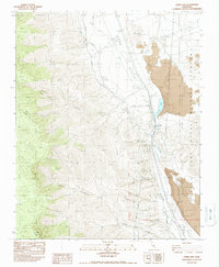
1983 Map of Little Lake
USGS Topo · Published 1988About this map
Rose Valley serves as a stark corridor for infrastructure and geography in this high desert region, where the Los Angeles Aqueduct transitions between surface and underground segments to transport water south. The settlement of Little Lake occupies a narrow passage between the steep volcanic terrain of the China Lake Naval Weapons Center and the eastern slopes of the Sierra Nevada. This landscape is defined by its dramatic geological history, evidenced by the volcanic landmark of Red Hill and the basaltic formations at Fossil Falls. Canyons such as Fivemile Canyon and Wickline Canyon drain the uplands from the Inyo and Tulare county lines. The presence of Einder Pits suggests industrial activity centered on the area's volcanic resources, while the network of Steel Transmission Lines reinforces the valley's role as a vital utility artery.
Find a feature on this map
20 named features on this map. Tap any name to fly to it.
Don’t see what you’re looking for? This feature index may not catch every label — zoom into the map to look around manually.
Map Details
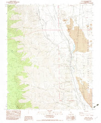
Editions of this 1983 Little Lake Map
2 editions found
Other maps of this area

1905 · Olancha
USGS Topo · 1:125,000

1906 · Kernville
USGS Topo · 1:125,000

1907 · Olancha
USGS Topo · 1:125,000

1908 · Kernville
USGS Topo · 1:125,000

1908 · Ballarat
USGS Topo · 1:250,000

1913 · Ballarat
USGS Topo · 1:250,000

1915 · Searles Lake
USGS Topo · 1:250,000

1947 · Trona
USGS Topo · 1:250,000

1948 · Trona
USGS Topo · 1:250,000

1948 · Death Valley
USGS Topo · 1:250,000