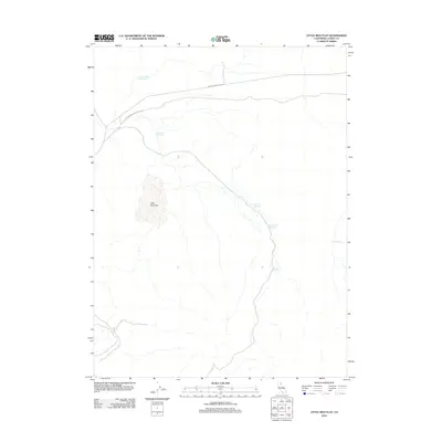
2012 Map of Little Mud Flat
USGS Topo · Published 2012About this map
Little Mud Flat and its surrounding high-desert terrain in Lassen County reflect a landscape defined by water management and historic transit routes. The presence of the Old Humboldt and Idaho Rd crossing the northern portion of the quadrangle marks a significant historic corridor through this arid region. This roadway is joined by Smoke Creek Ranch Rd, highlighting the pastoral and ranching interests that have long shaped the land usage here.
Find a feature on this map
9 named features on this map. Tap any name to fly to it.
Don’t see what you’re looking for? This feature index may not catch every label — zoom into the map to look around manually.
Map Details
Editions of this 2012 Little Mud Flat Map
This is the sole edition of this map. No revisions or reprints were ever made.
Other maps of this area

1886 · Honey Lake
USGS Topo · 1:250,000

1891 · Honey Lake
USGS Topo · 1:250,000

1893 · Honey Lake
USGS Topo · 1:250,000

1954 · Wendel
USGS Topo · 1:62,500

1954 · Litchfield
USGS Topo · 1:62,500

1954 · Karlo
USGS Topo · 1:62,500

1954 · Shinn Mountain
USGS Topo · 1:62,500

1955 · Westwood
USGS Topo · 1:250,000

1958 · Westwood
USGS Topo · 1:250,000

1959 · Westwood
USGS Topo · 1:250,000