
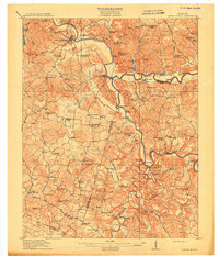
1914 Map of Little Muddy
USGS Topo · Published 1914About this map
The Green River and Barren River dominate this Central Kentucky landscape, serving as vital transit corridors before modern highways transformed the region. Near the confluence of these waters, Morgantown stands as a primary hub, connected to outlying communities like Rochester and Woodbury via the Greenville Road and Brownsville Road. The map reveals a highly localized economy dependent on river crossings such as Middle Ferry, Fannie Roan Ferry, and the strategic Doctors Ford.
Find a feature on this map
99 named features on this map. Tap any name to fly to it.
Don’t see what you’re looking for? This feature index may not catch every label — zoom into the map to look around manually.
Map Details
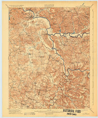
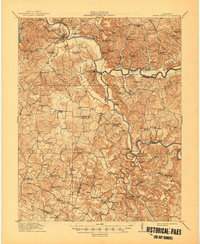
Editions of this 1914 Little Muddy Map
4 editions found
Other maps of this area

1909 · Hartford
USGS Topo · 1:62,500

1911 · Dunmor
USGS Topo · 1:48,000

1914 · Dunmor
USGS Topo · 1:62,500

1921 · Bowling Green
USGS Topo · 1:62,500

1922 · Leitchfield
USGS Topo · 1:48,000

1922 · Brownsville
USGS Topo · 1:62,500

1923 · Bowling Green
USGS Topo · 1:62,500

1923 · Brownsville
USGS Topo · 1:62,500

1925 · Spring Lick
USGS Topo · 1:62,500

1925 · Leitchfield
USGS Topo · 1:62,500