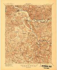
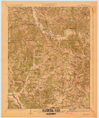
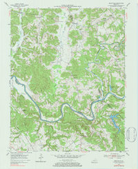
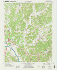
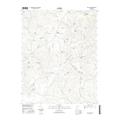
1914 Map of Little Muddy
USGS Topo · Published 1945About this map
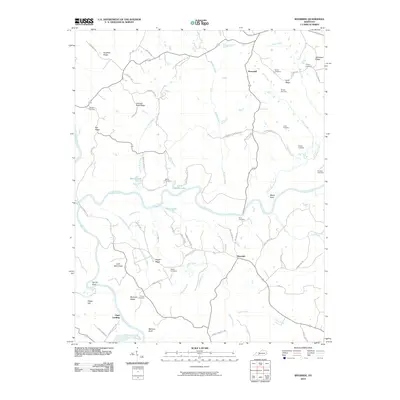
Morgantown stands at a prominent bend in the Green River, serving as a central hub for river commerce and overland travel in Butler County during the early 1910s. The landscape is defined by the winding paths of the Barren River and Gasper River, where numerous landings such as Finney Landing and Millshed Landing indicate a reliance on waterway transport for timber and local goods. Specialized industry is visible at the Caden Quarry near the southern riverbanks, while agricultural life is anchored by a dense network of country schools and churches, including the Rolling Spring School and Stevenson Chapel. Traceable family history is rooted in small settlements like Sugar Grove and Davenport, connected by historic thoroughfares like the Bowling Green Road and Russellville Road. The topography features notable landmarks such as Peach Orchard Knob and the dramatic river narrows.
Find a feature on this map
104 named features on this map. Tap any name to fly to it.
Don’t see what you’re looking for? This feature index may not catch every label — zoom into the map to look around manually.
Map Details
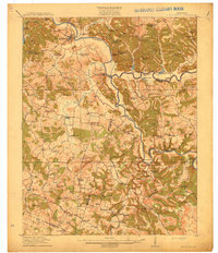
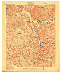
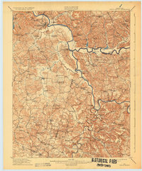
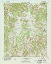
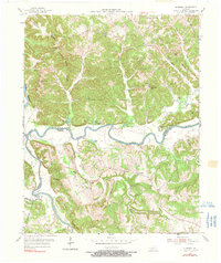
Editions of this 1914 Little Muddy Map
4 editions found
Historical Maps of Morgantown Through Time
46 maps found
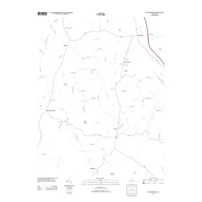
1914 Little Muddy
Butler County, KY
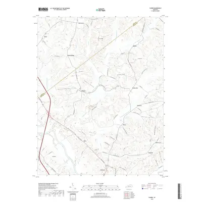
1925 Spring Lick
Butler County, KY
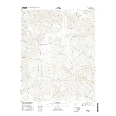
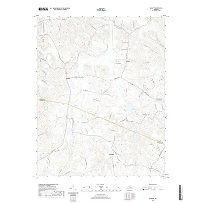
1953 Quality
Butler County, KY
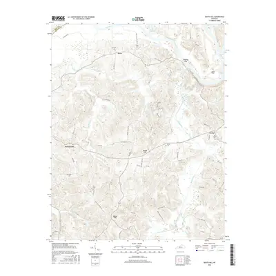
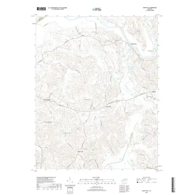
1953 South Hill
Butler County, KY
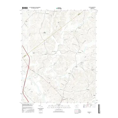
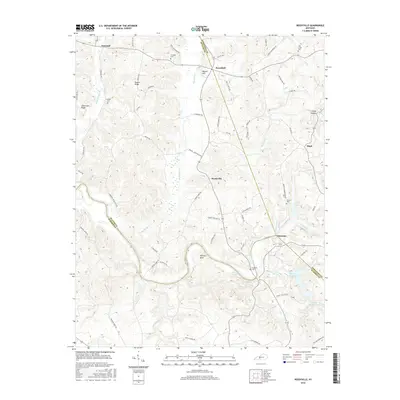
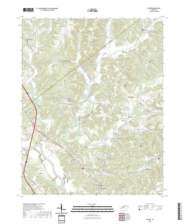
1954 Flener
Butler County, KY
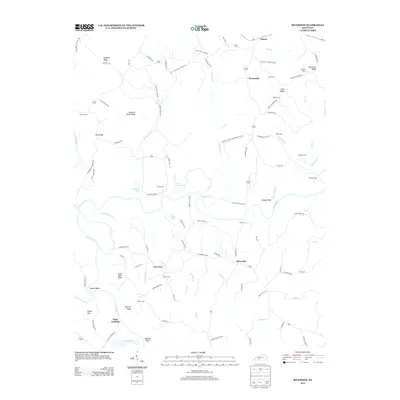
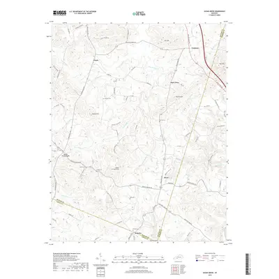
1954 Reedyville
Butler County, KY
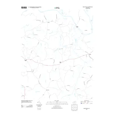
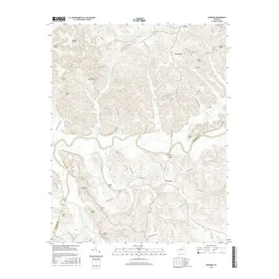
1954 Riverside
Butler County, KY
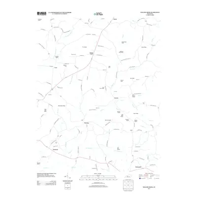
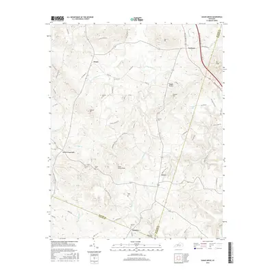
1954 Sugar Grove
Butler County, KY
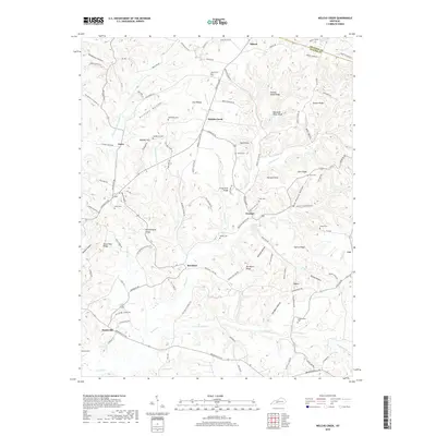
1954 Welchs Creek
Butler County, KY
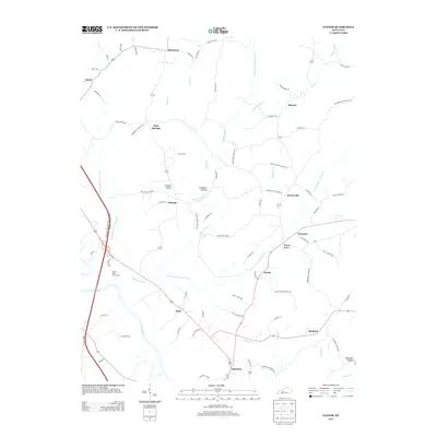
1973 Flener
Butler County, KY
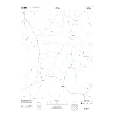
1973 Sugar Grove
Butler County, KY
2010 Flener
Butler County, KY
2010 Quality
Butler County, KY

2010 Reedyville
Butler County, KY
2010 Riverside
Butler County, KY
2010 South Hill
Butler County, KY
2010 Sugar Grove
Butler County, KY
2010 Welchs Creek
Butler County, KY
2013 Flener
Butler County, KY
2013 Quality
Butler County, KY

2013 Reedyville
Butler County, KY
2013 Riverside
Butler County, KY
2013 South Hill
Butler County, KY
2013 Sugar Grove
Butler County, KY
2013 Welchs Creek
Butler County, KY
2016 Flener
Butler County, KY
2016 Quality
Butler County, KY
2016 Reedyville
Butler County, KY
2016 Riverside
Butler County, KY
2016 South Hill
Butler County, KY
2016 Sugar Grove
Butler County, KY
2016 Welchs Creek
Butler County, KY
2019 Flener
Butler County, KY
2019 Quality
Butler County, KY

2019 Reedyville
Butler County, KY
2019 Riverside
Butler County, KY
2019 South Hill
Butler County, KY
2019 Sugar Grove
Butler County, KY
2019 Welchs Creek
Butler County, KY
2022 Flener
Butler County, KY
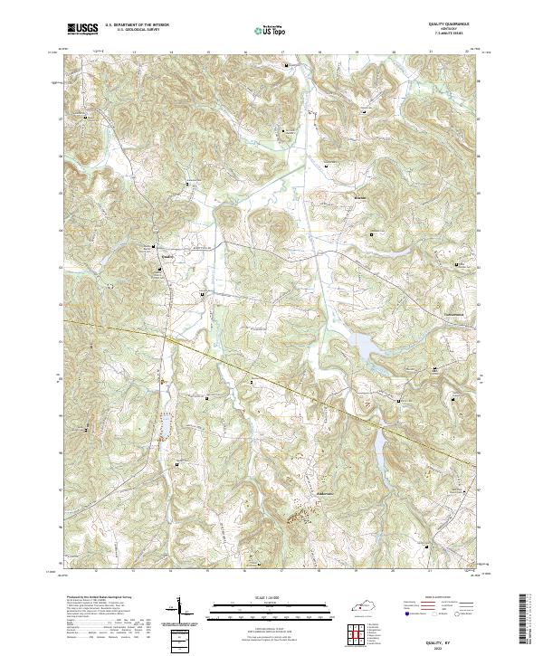
2022 Quality
Butler County, KY
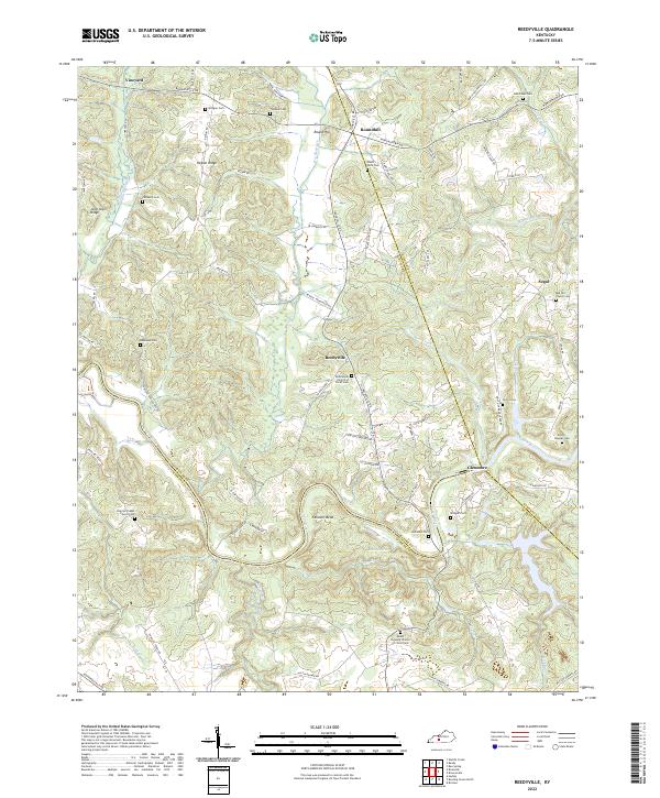
2022 Reedyville
Butler County, KY
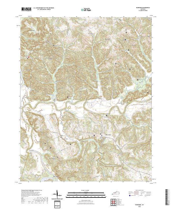
2022 Riverside
Butler County, KY
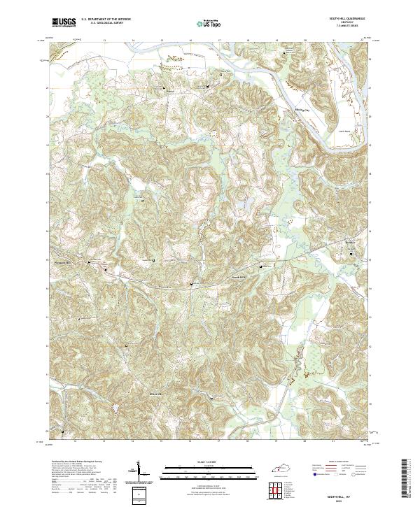
2022 South Hill
Butler County, KY
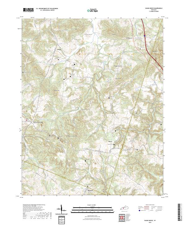
2022 Sugar Grove
Butler County, KY
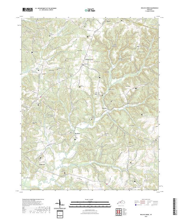
2022 Welchs Creek
Butler County, KY